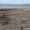
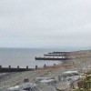
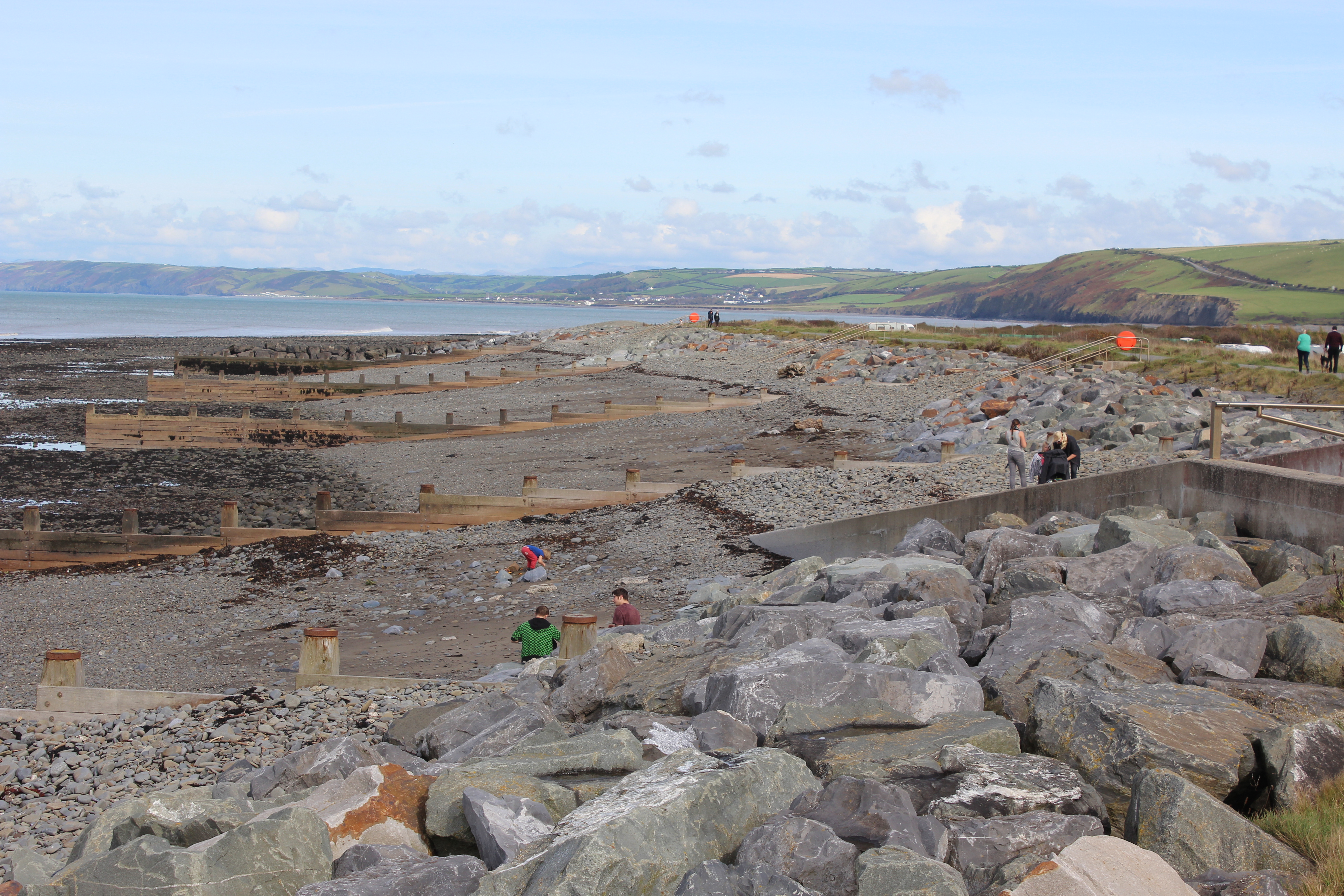
Looking northeast, a series of wooden breakwaters extending from a low seawall. The path on the seawall is part of the Wales Coast Path.
Uploaded to Geograph by M J Roscoe on 23 September 2017
Photo © M J Roscoe, 23 September 2017.
Licensed for reuse under this Creative Commons licence
Location: Aberaeron
Location type: Town
OS Grid: SN461634
Coordinates: 52°14'53"N 4°15'18"W
Mapcode: GBR DJ.0H64
What 3 Words: trouble.bandaged.binders
Coordinates and location codes are for an approximate mid-point of the beach, and may not reflect the best access point or the most popular part of the beach.
Country: Wales
Local Authority: Ceredigion
Parish: Aberaeron
Nearest postcode: SA46 0JP
(for sat-nav purposes only, a beach does not have a postal address!)