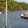
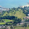
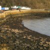
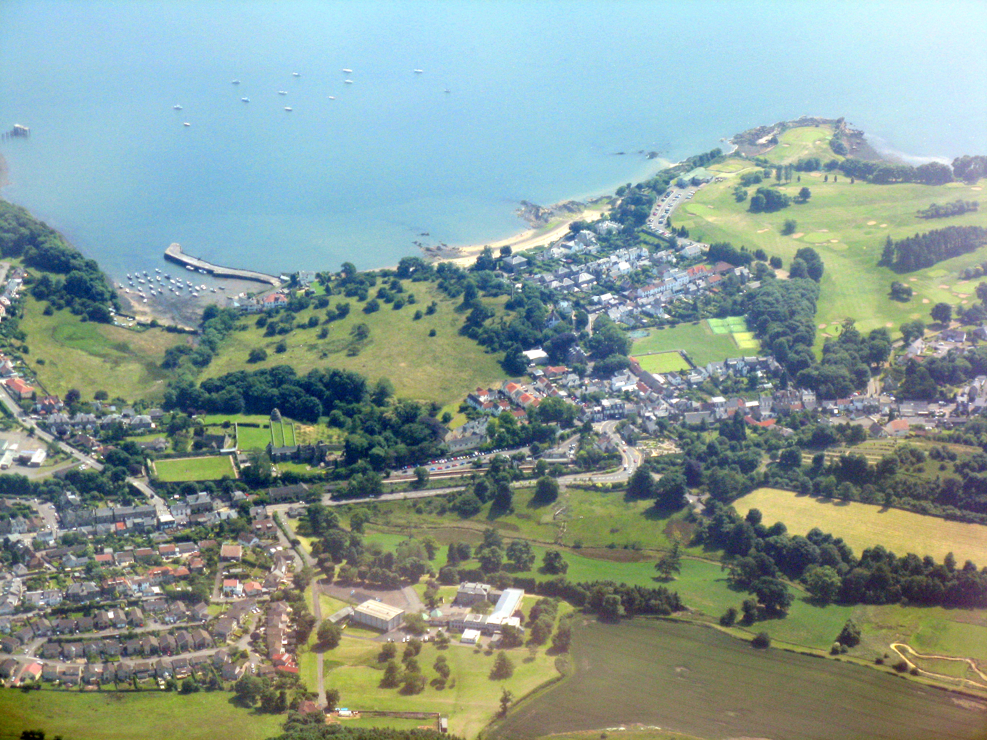
Aberdour, harbour and beach
Uploader's Comments
Looking down the course of the Dour Burn, which flows into the harbour.
Uploaded to Geograph by M J Richardson on 11 July 2013
Looking down the course of the Dour Burn, which flows into the harbour.
Uploaded to Geograph by M J Richardson on 11 July 2013
 Photo © M J Richardson, 11 July 2013.
Licensed for reuse under this Creative Commons licence
Photo © M J Richardson, 11 July 2013.
Licensed for reuse under this Creative Commons licence
Location: Aberdour
Location type: Village
OS Grid: NT192849
Coordinates: 56°3'2"N 3°17'50"W
Mapcode: GBR 24.QWQ1
What 3 Words: playroom.livid.dude
Coordinates and location codes are for an approximate mid-point of the beach, and may not reflect the best access point or the most popular part of the beach.
Country: Scotland
Local Authority: Fife
Nearest postcode: KY3 0TY
(for sat-nav purposes only, a beach does not have a postal address!)