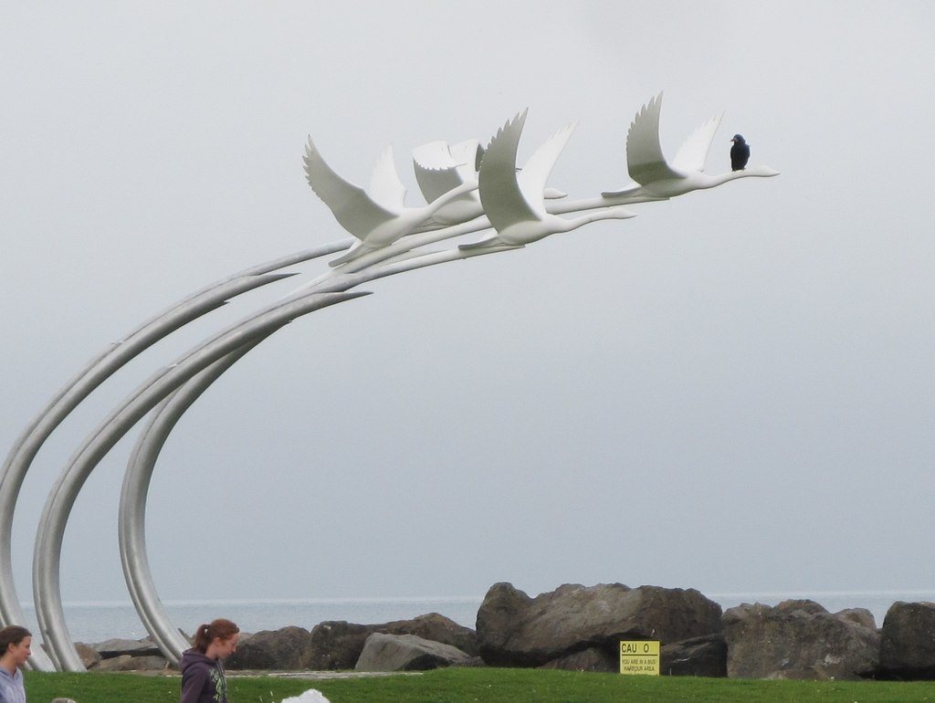
The Children of Lir sculpture provides a handy perch for a Ballycastle rook
Uploaded to Geograph by Eric Jones on 24 September 2013
Uploaded to Geograph by Eric Jones on 24 September 2013
 Photo © Eric Jones, 24 September 2013.
Licensed for reuse under this Creative Commons licence
Photo © Eric Jones, 24 September 2013.
Licensed for reuse under this Creative Commons licence
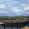
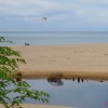
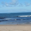
Location: Ballycastle
Coordinates: 55°12'17"N 6°14'10"W
Mapcode: IRL SY.SH61
What 3 Words: hungry.paving.stag
Coordinates and location codes are for an approximate mid-point of the beach, and may not reflect the best access point or the most popular part of the beach.
County: Antrim
Country: Northern Ireland
Local Authority: Moyle
Nearest postcode: BT54 6QP
(for sat-nav purposes only, a beach does not have a postal address!)