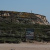
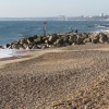
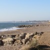
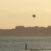
SCP | Hengistbury head
Uploader's Comments
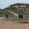
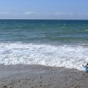
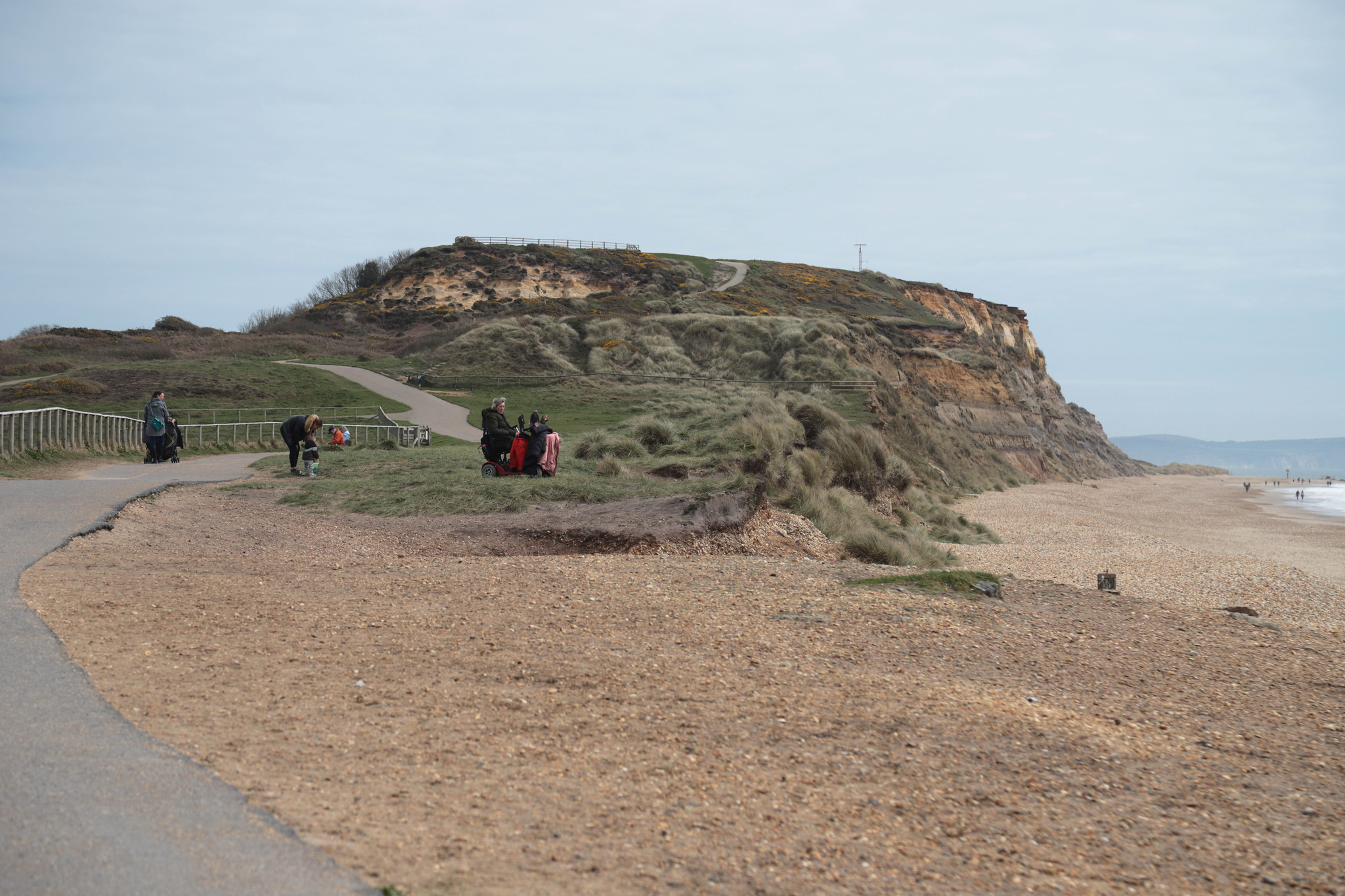
South Coast Path | Bournemouth to Mudeford
Uploaded to Flickr by Carneddau on 17 April 2022
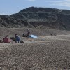
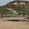
South Coast Path | Bournemouth to Mudeford
Uploaded to Flickr by Carneddau on 17 April 2022
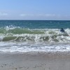
 Photo © Carneddau, 17 April 2022.
Licensed for reuse under this Creative Commons licence
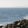
Photo © Carneddau, 17 April 2022.
Licensed for reuse under this Creative Commons licence
Location: Hengistbury Head, Bournemouth
Location type: Urban
OS Grid: SZ163908
Coordinates: 50°43'0"N 1°46'10"W
Mapcode: GBR 55J.WZT
What 3 Words: safe.brand.quest
Coordinates and location codes are for an approximate mid-point of the beach, and may not reflect the best access point or the most popular part of the beach.
Country: England
Local Authority: Bournemouth
Nearest postcode: BH6 4EN
(for sat-nav purposes only, a beach does not have a postal address!)