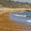
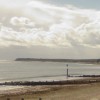
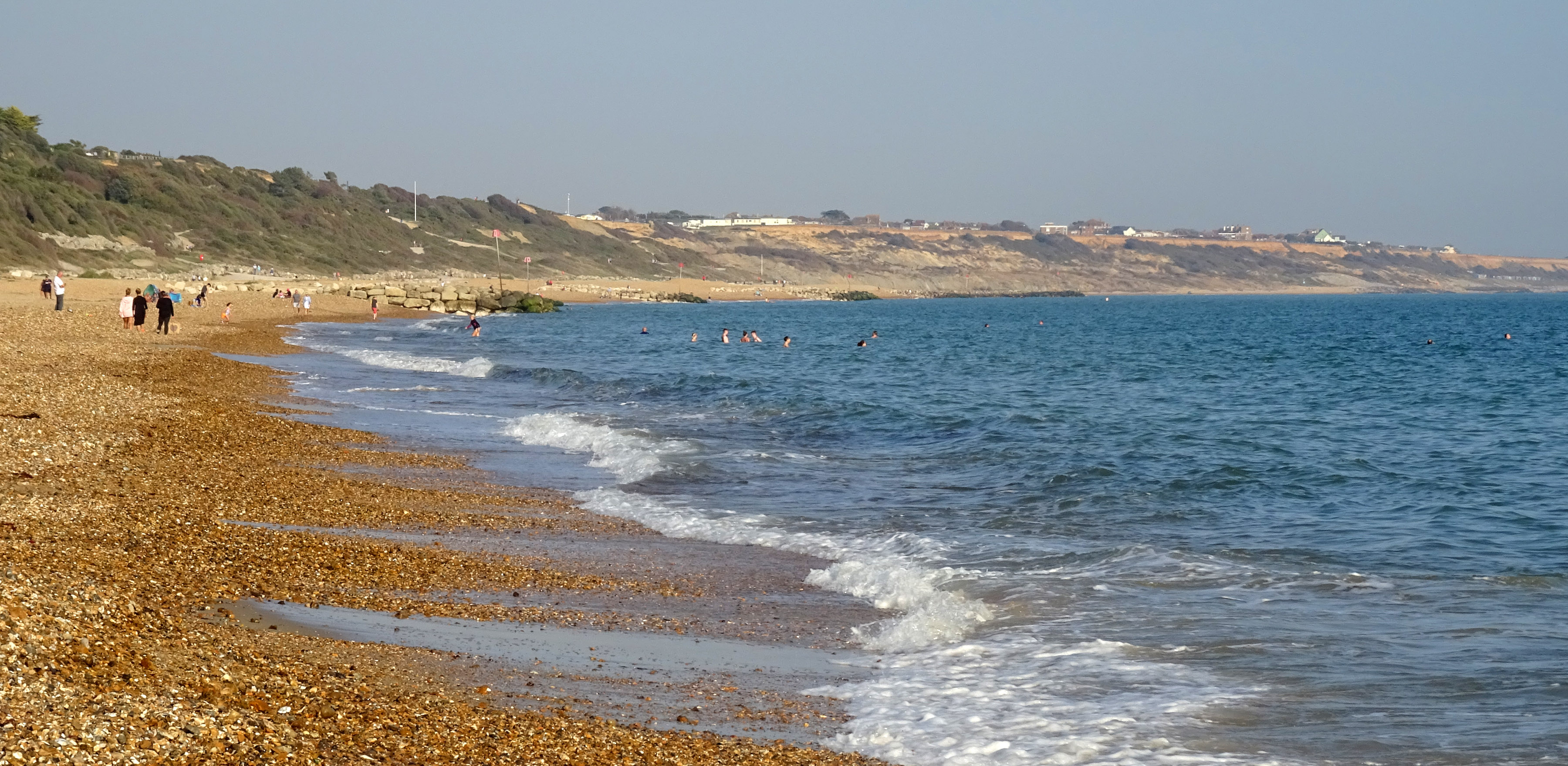
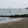
I didn't brave the sea (given the pebbles when getting in/out and my childhood in tropical climes) but I did go on a long walk toward Mudeford. On the way were lots of beach huts around Steamer Point (which was not a point at all). Where we were, well NE of here, it was much sandier.
Uploaded to Flickr by chericbaker on 25 September 2020
Photo © chericbaker, 25 September 2020.
Licensed for reuse under this Creative Commons licence
Location: Friars Cliff, Christchurch
Location type: Urban
OS Grid: SZ193926
Coordinates: 50°44'0"N 1°43'37"W
Mapcode: GBR 55D.VKP
What 3 Words: video.cars.share
Coordinates and location codes are for an approximate mid-point of the beach, and may not reflect the best access point or the most popular part of the beach.
County: Dorset
Country: England
Local Authority: Christchurch
Nearest postcode: BH23 4EP
(for sat-nav purposes only, a beach does not have a postal address!)