Llangranog Beach
Uploader's Comments
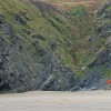
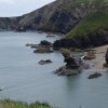
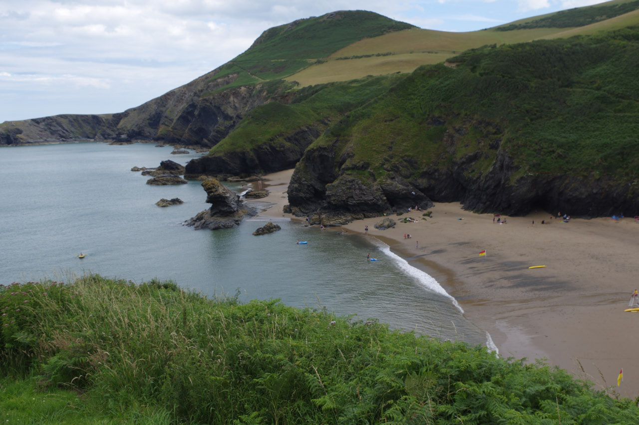
The Ceredigion coast at its best: looking down to the beach from Pen-rhip. Pendinaslochdyn, the site of an ancient hill fort, dominates the background.
Uploaded to Geograph by Stephen McKay on 16 July 2015
The Ceredigion coast at its best: looking down to the beach from Pen-rhip. Pendinaslochdyn, the site of an ancient hill fort, dominates the background.
Uploaded to Geograph by Stephen McKay on 16 July 2015
 Photo © Stephen McKay, 16 July 2015.
Licensed for reuse under this Creative Commons licence
Photo © Stephen McKay, 16 July 2015.
Licensed for reuse under this Creative Commons licence
Location: Llangrannog
Location type: Rural
OS Grid: SN310542
Coordinates: 52°9'39"N 4°28'19"W
Mapcode: GBR D7.63BZ
What 3 Words: racing.shielding.organ
Coordinates and location codes are for an approximate mid-point of the beach, and may not reflect the best access point or the most popular part of the beach.
Country: Wales
Local Authority: Ceredigion
Parish: Llangrannog
Nearest postcode: SA44 6SN
(for sat-nav purposes only, a beach does not have a postal address!)