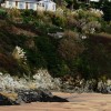
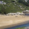
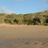
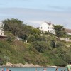
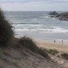
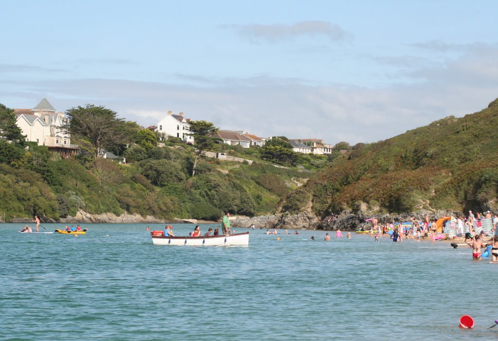
The Gannell Ferry, Crantock
Uploaded by Peter Connolly on 28 August 2009
Uploaded by Peter Connolly on 28 August 2009
 Photo © Peter Connolly, 28 August 2009.
Licensed for reuse under this Creative Commons licence
Photo © Peter Connolly, 28 August 2009.
Licensed for reuse under this Creative Commons licence
Location: Pentire,
Location type: Urban
OS Grid: SW786611
Coordinates: 50°24'29"N 5°6'58"W
Mapcode: GBR Z9.N97L
What 3 Words: trendy.essay.install
Coordinates and location codes are for an approximate mid-point of the beach, and may not reflect the best access point or the most popular part of the beach.
Country: England
Local Authority: Cornwall
Parish: Crantock
Nearest postcode: TR7 1PJ
(for sat-nav purposes only, a beach does not have a postal address!)