Craster. 2003
Uploader's Comments
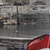
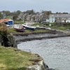
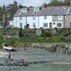
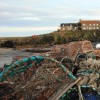
Harbour
Scanned Print
Uploaded to Flickr by amandabhslater on 15 February 2025
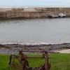
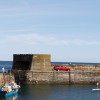
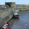
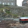
Harbour
Scanned Print
Uploaded to Flickr by amandabhslater on 15 February 2025
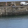
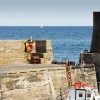
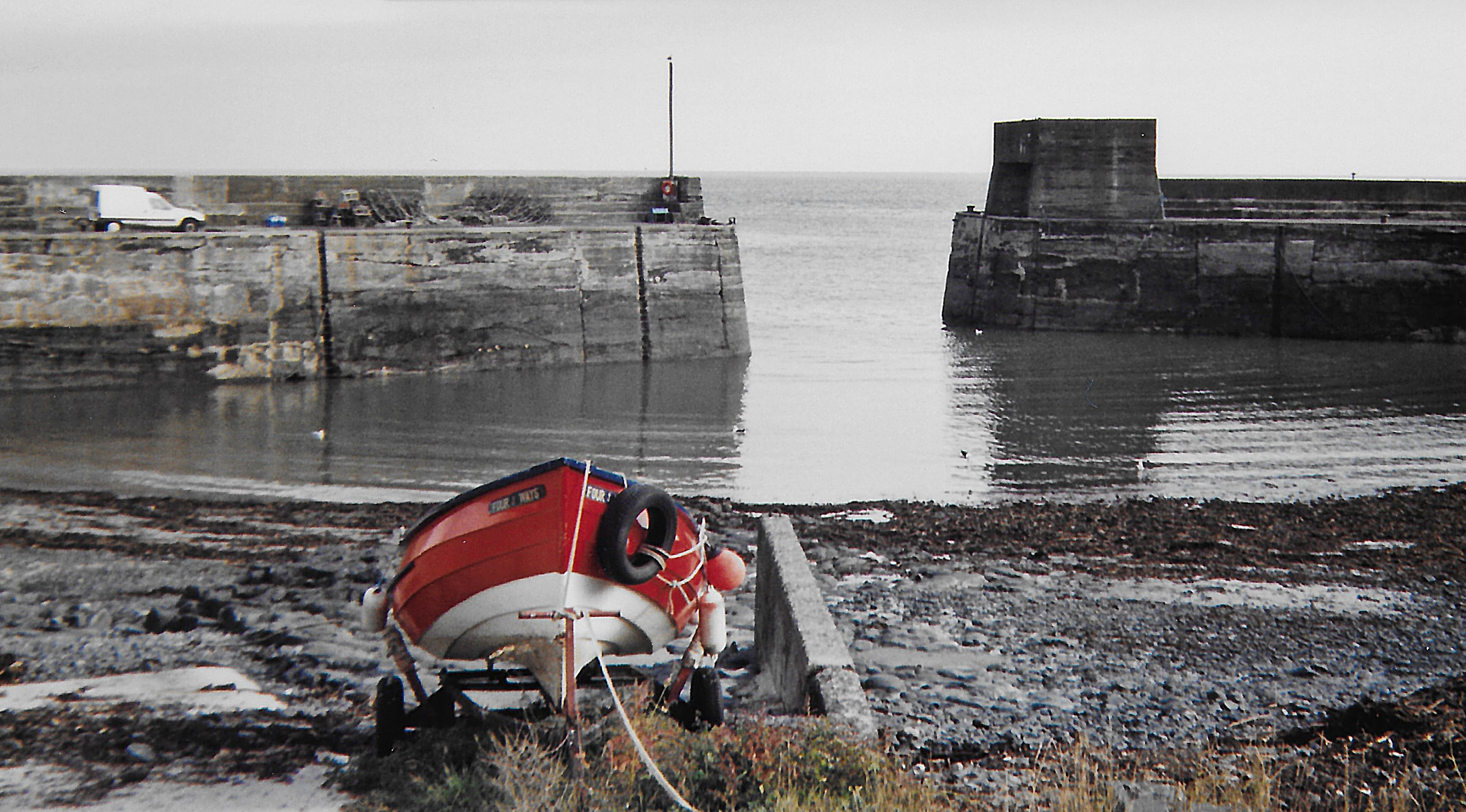
 Photo © amandabhslater, 15 February 2025.
Licensed for reuse under this Creative Commons licence
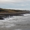
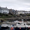
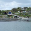
Photo © amandabhslater, 15 February 2025.
Licensed for reuse under this Creative Commons licence
Location: Craster
Location type: Village
OS Grid: NU259198
Coordinates: 55°28'19"N 1°35'30"W
Mapcode: GBR K5B5.66
What 3 Words: lifts.maps.caravans
Coordinates and location codes are for an approximate mid-point of the beach, and may not reflect the best access point or the most popular part of the beach.
Country: England
Local Authority: Northumberland
Parish: Craster
Nearest postcode: NE66 3TR
(for sat-nav purposes only, a beach does not have a postal address!)