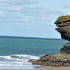
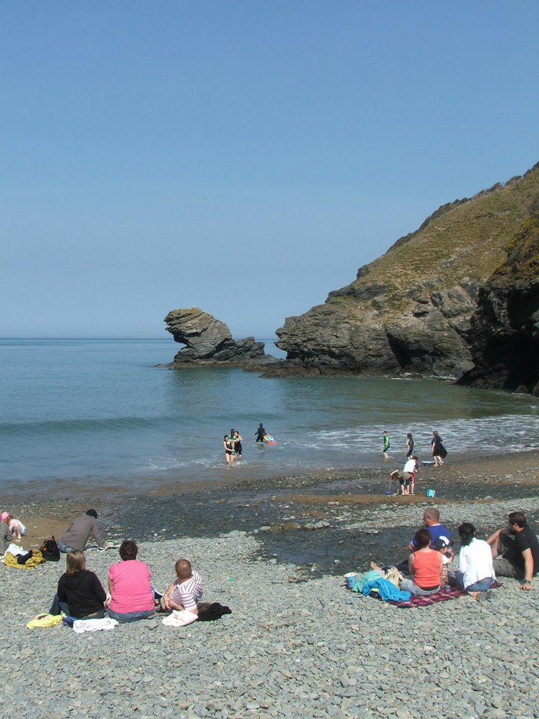
Llangrannog Beach
Uploaded by John Goodall on 27 March 2008
Uploaded by John Goodall on 27 March 2008
 Photo © John Goodall, 27 March 2008.
Licensed for reuse under this Creative Commons licence
Photo © John Goodall, 27 March 2008.
Licensed for reuse under this Creative Commons licence
Location: Llangrannog
Location type: Rural
OS Grid: SN310542
Coordinates: 52°9'37"N 4°28'18"W
Mapcode: GBR D7.63FB
What 3 Words: snares.poorly.spots
Coordinates and location codes are for an approximate mid-point of the beach, and may not reflect the best access point or the most popular part of the beach.
Country: Wales
Local Authority: Ceredigion
Parish: Llangrannog
Nearest postcode: SA44 6SN
(for sat-nav purposes only, a beach does not have a postal address!)