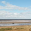
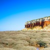
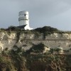
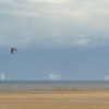
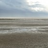
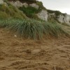
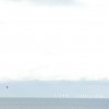
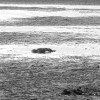
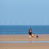
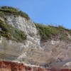
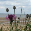
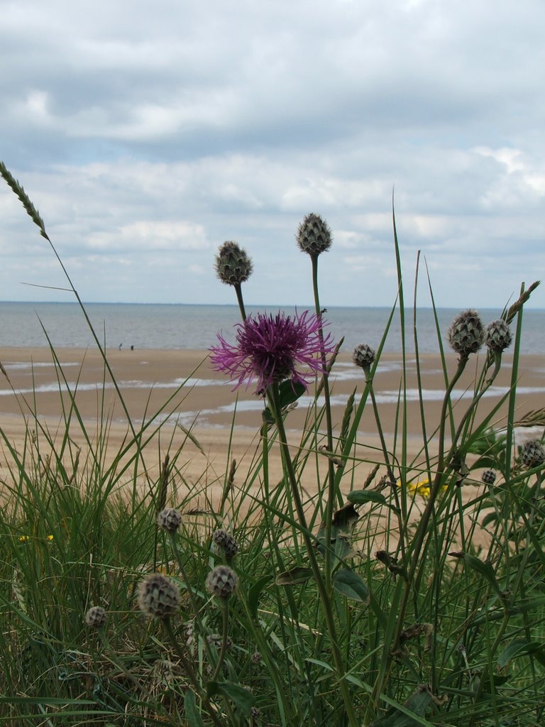
The Wash (with Greater Knapweed) from the cliff top, Old Hunstanton
Uploaded by John Goodall on 24 July 2007
Uploaded by John Goodall on 24 July 2007
 Photo © John Goodall, 24 July 2007.
Licensed for reuse under this Creative Commons licence
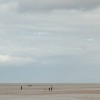
Photo © John Goodall, 24 July 2007.
Licensed for reuse under this Creative Commons licence
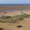
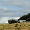
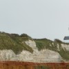
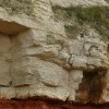
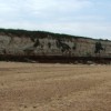
Location: Old Hunstanton
Location type: Town
OS Grid: TF678424
Coordinates: 52°57'12"N 0°29'47"E
Mapcode: GBR P2P.SGK
What 3 Words: boarding.coffee.lengthen
Coordinates and location codes are for an approximate mid-point of the beach, and may not reflect the best access point or the most popular part of the beach.
County: Norfolk
Country: England
Local Authority: King's Lynn and West Norfolk
Parish: Hunstanton
Nearest postcode: PE36 6JJ
(for sat-nav purposes only, a beach does not have a postal address!)