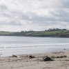
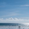
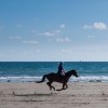
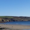
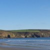
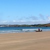
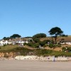
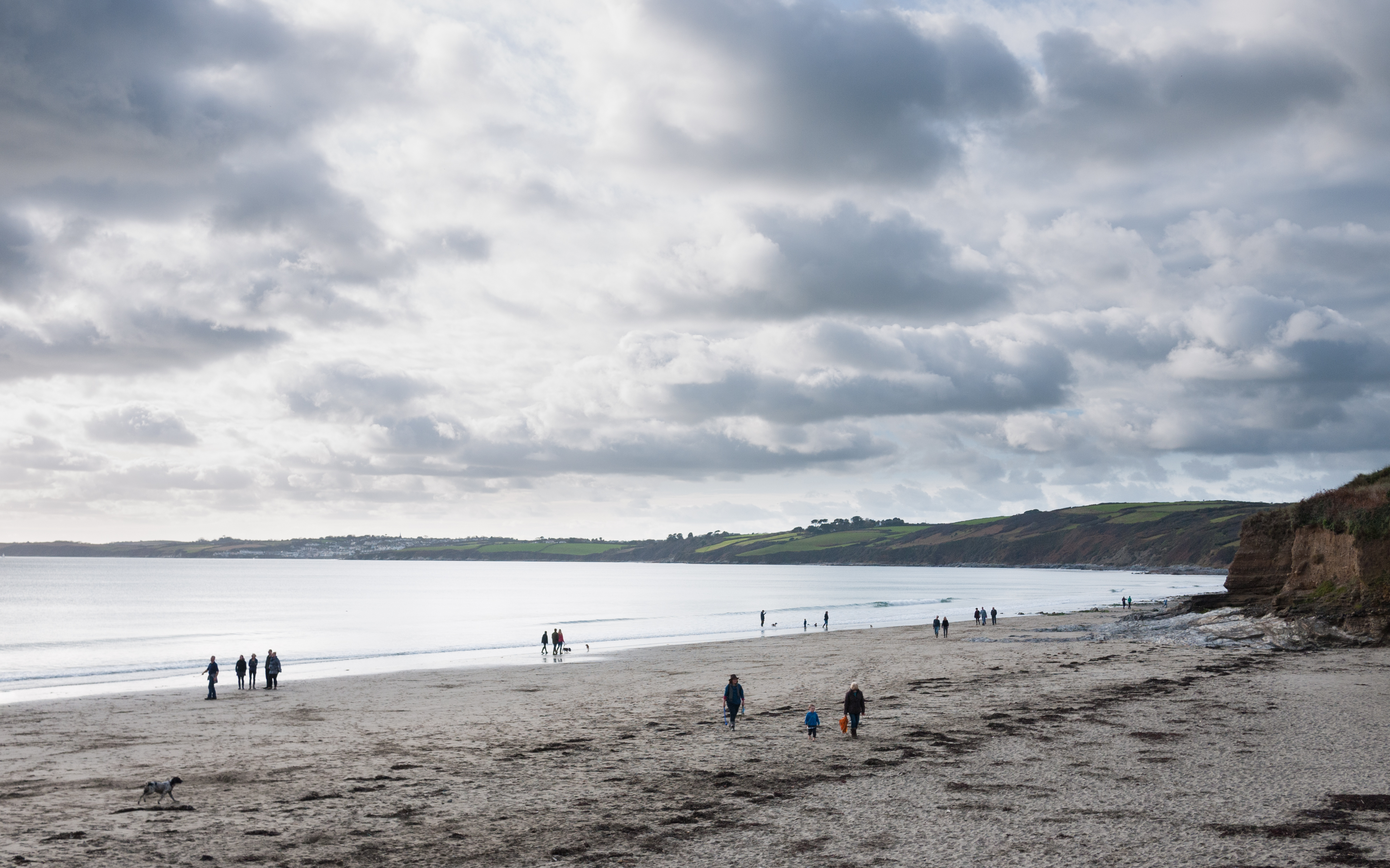
Carne Beach
Uploaded to Flickr by Ross Burton on 13 November 2016
Uploaded to Flickr by Ross Burton on 13 November 2016
 Photo © Ross Burton, 13 November 2016.
Licensed for reuse under this Creative Commons licence
Photo © Ross Burton, 13 November 2016.
Licensed for reuse under this Creative Commons licence
Location: Carne
Location type: Village
Nearest village: Veryan
OS Grid: SW904381
Coordinates: 50°12'23"N 4°56'16"W
Mapcode: GBR ZN.N263
What 3 Words: drip.puppy.maddening
Coordinates and location codes are for an approximate mid-point of the beach, and may not reflect the best access point or the most popular part of the beach.
Country: England
Local Authority: Cornwall
Parish: Veryan
Nearest postcode: TR2 5PF
(for sat-nav purposes only, a beach does not have a postal address!)