Approximate Location Map
Use two fingers to pan or zoom the map
Use two fingers to pan or zoom the map
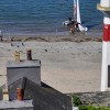
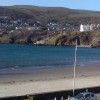
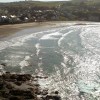
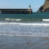
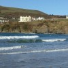
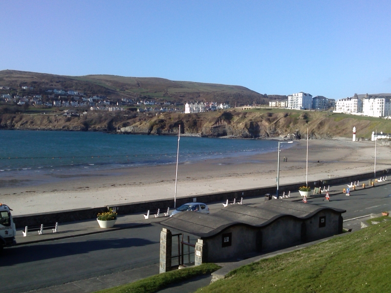
The beach is a sandy bay enclosed by rocky headlands and backed by the town.
Port Erin Beach is adjacent to the Isle of Man Coastal Path.
Sand
| Today | |
|---|---|
| Chance of rain | 9% |
| Max temp. | 9°C |
| (feels like | 7°C) |
| Wind 9mph | |
| Max UV Index |
| Tonight | |
|---|---|
| Chance of rain | 8% |
| Min temp. | 7°C |
| (feels like | 3°C) |
| Wind 13mph |
![]() Today's air pollution levels are forecast to be Low
Today's air pollution levels are forecast to be Low
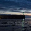
 Approximate sea surface temperature:
10.2°C
Approximate sea surface temperature:
10.2°C
There is parking by the beach, on Shore Road.
No lifeguard cover at this beach
Port Erin Railway Museum (0.2 miles)
Milner's Tower (0.8 miles)
Sound Visitor Centre (2 miles)
Craftworks Studio (4.4 miles)
The Old House of Keys (4.5 miles)
Nautical Museum (4.5 miles)
Ape Mann Adventure Park (6.8 miles)
Laser-Mayhem (6.8 miles)
All distances are approximate
around 11 miles north-northeast as the seagull flies, around 17 miles by road.
around 2 miles east as the seagull flies, around 2 miles by road.
around 6 miles east as the seagull flies, around 7 miles by road.
around 10 miles east-northeast as the seagull flies, around 12 miles by road.
just over a mile east-southeast as the seagull flies, around 2 miles by road.
County: Isle of Man
Country: Isle of Man
Important! Beach information is compiled from a variety of different sources and is correct to the best of our knowledge at the time of compilation. However, information may be incorrectly supplied by our sources or go out of date after publication. BritishBeaches.uk makes no warranty as to the accuracy of any information on this page.
(Or après-beach. Or pre-beach. Or, just because you might want stuff)
Men's Tops
Weird Fish Transom Full Zip Eco Macaroni Sweatshirt Ecru Size 4XL

Only £75.00 from Weird Fish