Approximate Location Map
Use two fingers to pan or zoom the map
Use two fingers to pan or zoom the map
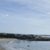
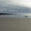
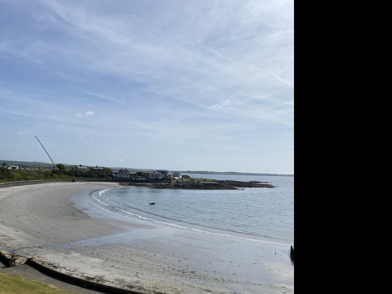
There is a small sheltered sandy bay within the town which is surrounded by rocky headlands and cliffs.
Port St. Mary Beach is adjacent to the Isle of Man Coastal Path.
Harbour Sand
| Today | |
|---|---|
| Chance of rain | 0% |
| Max temp. | 12°C |
| (feels like | 8°C) |
| Wind 20mph | |
| Max UV Index |
| Tonight | |
|---|---|
| Chance of rain | 2% |
| Min temp. | 4°C |
| (feels like | 4°C) |
| Wind 9mph |
![]() Today's air pollution levels are forecast to be Low
Today's air pollution levels are forecast to be Low
 Approximate sea surface temperature:
9.8°C
Approximate sea surface temperature:
9.8°C
There is a car park in the town, off The Promenade.
Dogs are allowed.
No lifeguard cover at this beach
Port Erin Railway Museum (1 miles)
Milner's Tower (2 miles)
Sound Visitor Centre (2.5 miles)
Craftworks Studio (3.4 miles)
The Old House of Keys (3.4 miles)
Nautical Museum (3.4 miles)
Rushen Abbey (4.3 miles)
All distances are approximate
less than a mile northeast as the seagull flies, just over a mile by road.
around 12 miles east-northeast as the seagull flies, around 14 miles by road.
around 13 miles east-northeast as the seagull flies, around 15 miles by road.
around 4 miles east as the seagull flies, around 5 miles by road.
around 7 miles east-northeast as the seagull flies, around 9 miles by road.
just over a mile west-northwest as the seagull flies, around 2 miles by road.
County: Isle of Man
Country: Isle of Man
Important! Beach information is compiled from a variety of different sources and is correct to the best of our knowledge at the time of compilation. However, information may be incorrectly supplied by our sources or go out of date after publication. BritishBeaches.uk makes no warranty as to the accuracy of any information on this page.
(Or après-beach. Or pre-beach. Or, just because you might want stuff)
Men's Tops
Weird Fish Newark Eco 1/4 Zip Grid Fleece Washed Black Size S

Only £33.00 from Weird Fish