Porth Dafarch, Holy Island (507291)
Uploader's Comments
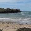
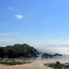
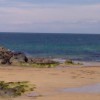
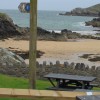
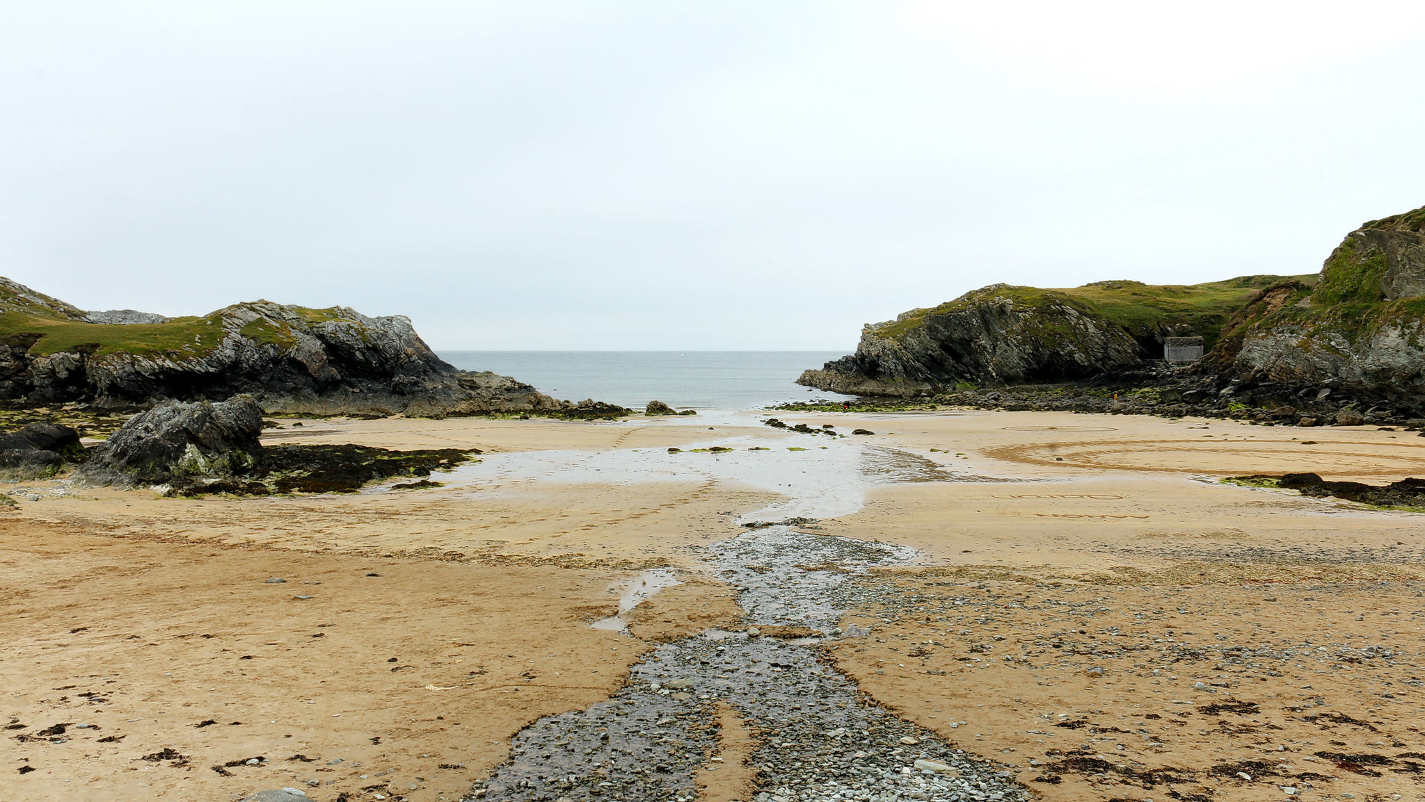
Porth Dafarch, Holy Island, Anglesey, Wales
Uploaded to Flickr by Bob Linsdell on 27 February 2017
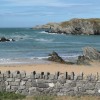
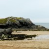
Porth Dafarch, Holy Island, Anglesey, Wales
Uploaded to Flickr by Bob Linsdell on 27 February 2017
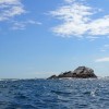
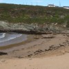
 Photo © Bob Linsdell, 27 February 2017.
Licensed for reuse under this Creative Commons licence
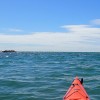
Photo © Bob Linsdell, 27 February 2017.
Licensed for reuse under this Creative Commons licence
Location: Kingsland,
Location type: Rural
OS Grid: SH233799
Coordinates: 53°17'12"N 4°39'3"W
Mapcode: GBR GNW0.JBG
What 3 Words: bared.pitchers.mothering
Coordinates and location codes are for an approximate mid-point of the beach, and may not reflect the best access point or the most popular part of the beach.
Country: Wales
Local Authority: Isle of Anglesey
Parish: Trearddur
Nearest postcode: LL65 2LS
(for sat-nav purposes only, a beach does not have a postal address!)