Beach Weather 5472
Uploaded to Flickr by Thorbard on 17 August 2021
Uploaded to Flickr by Thorbard on 17 August 2021
 Photo © Thorbard, 17 August 2021.
Licensed for reuse under this Creative Commons licence
Photo © Thorbard, 17 August 2021.
Licensed for reuse under this Creative Commons licence
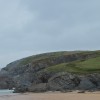
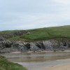
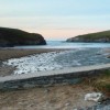
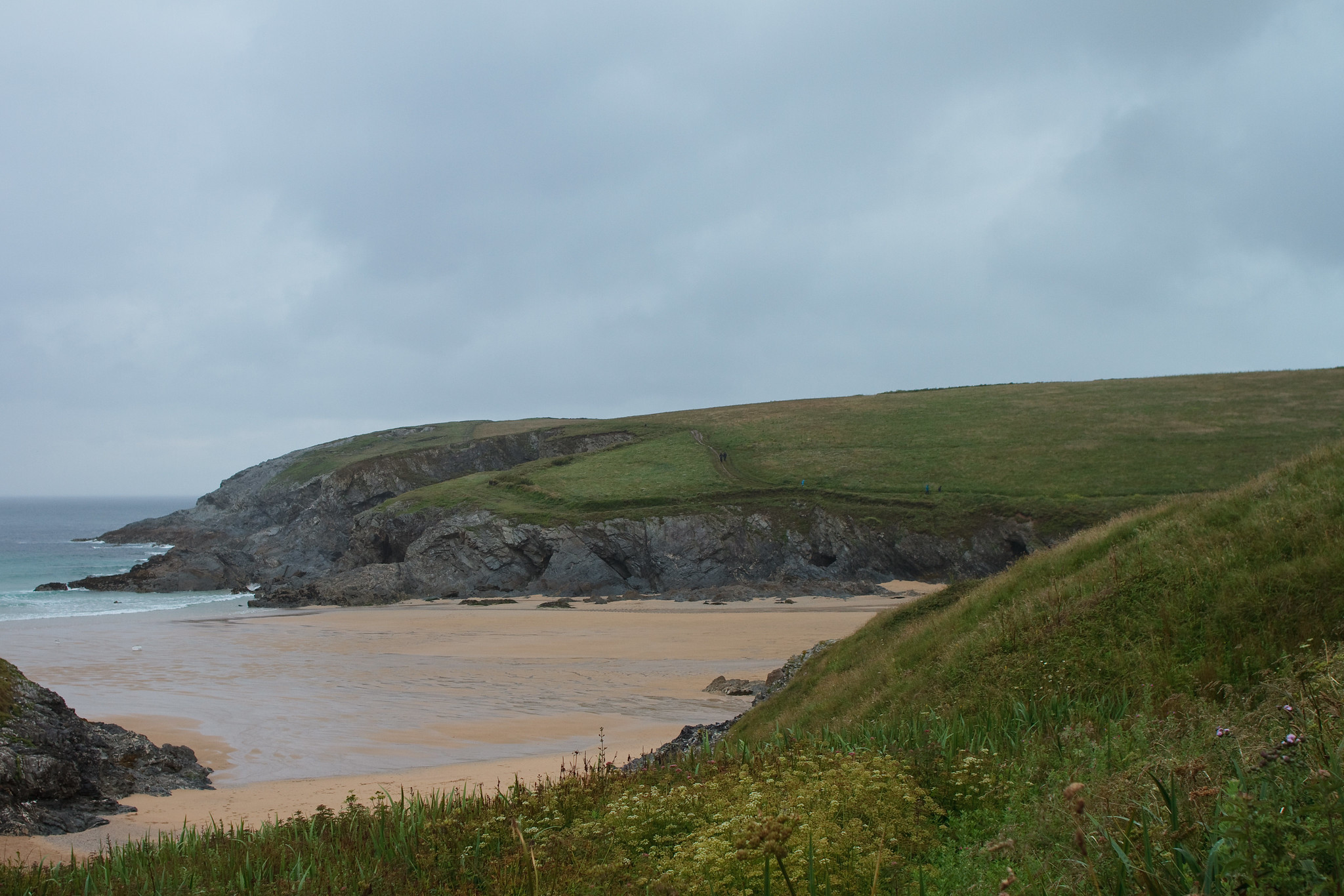
Location: West Pentire
Location type: Village
Nearest village: Holywell
OS Grid: SW771606
Coordinates: 50°24'11"N 5°8'16"W
Mapcode: GBR Z8.BPGY
What 3 Words: spreads.perkily.immune
Coordinates and location codes are for an approximate mid-point of the beach, and may not reflect the best access point or the most popular part of the beach.
Country: England
Local Authority: Cornwall
Parish: Cubert
Nearest postcode: TR8 5SE
(for sat-nav purposes only, a beach does not have a postal address!)