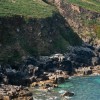
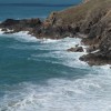
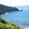
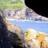
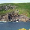
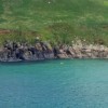
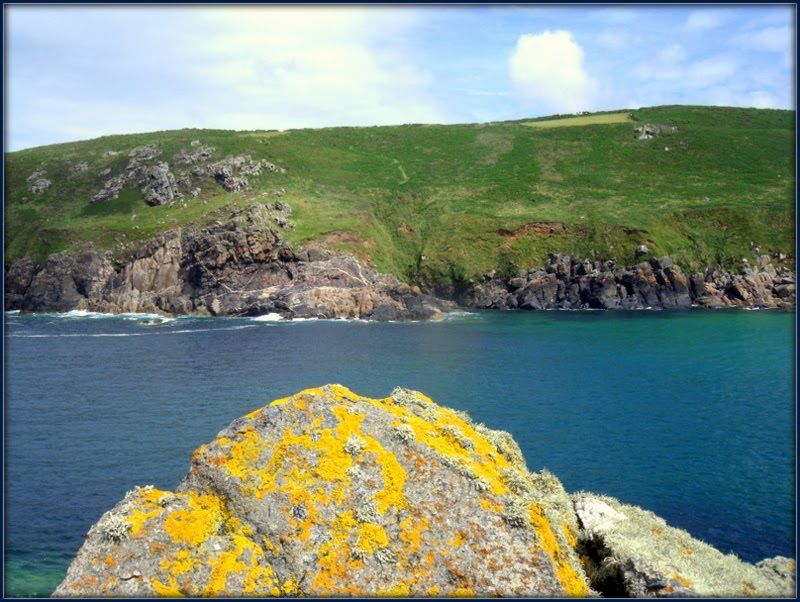
Porthmeor Cove
Uploaded by Andy Rodker on 23 August 2012
Uploaded by Andy Rodker on 23 August 2012
 Photo © Andy Rodker, 23 August 2012.
Licensed for reuse under this Creative Commons licence
Photo © Andy Rodker, 23 August 2012.
Licensed for reuse under this Creative Commons licence
Location: Treen
Location type: Rural
Nearest village: Higher Bojewyan
OS Grid: SW425374
Coordinates: 50°10'52"N 5°36'27"W
Mapcode: GBR DXJ6.J7Y
What 3 Words: fishery.warthog.movies
Coordinates and location codes are for an approximate mid-point of the beach, and may not reflect the best access point or the most popular part of the beach.
Country: England
Local Authority: Cornwall
Parish: Zennor
Nearest postcode: TR20 8YX
(for sat-nav purposes only, a beach does not have a postal address!)