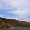
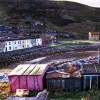
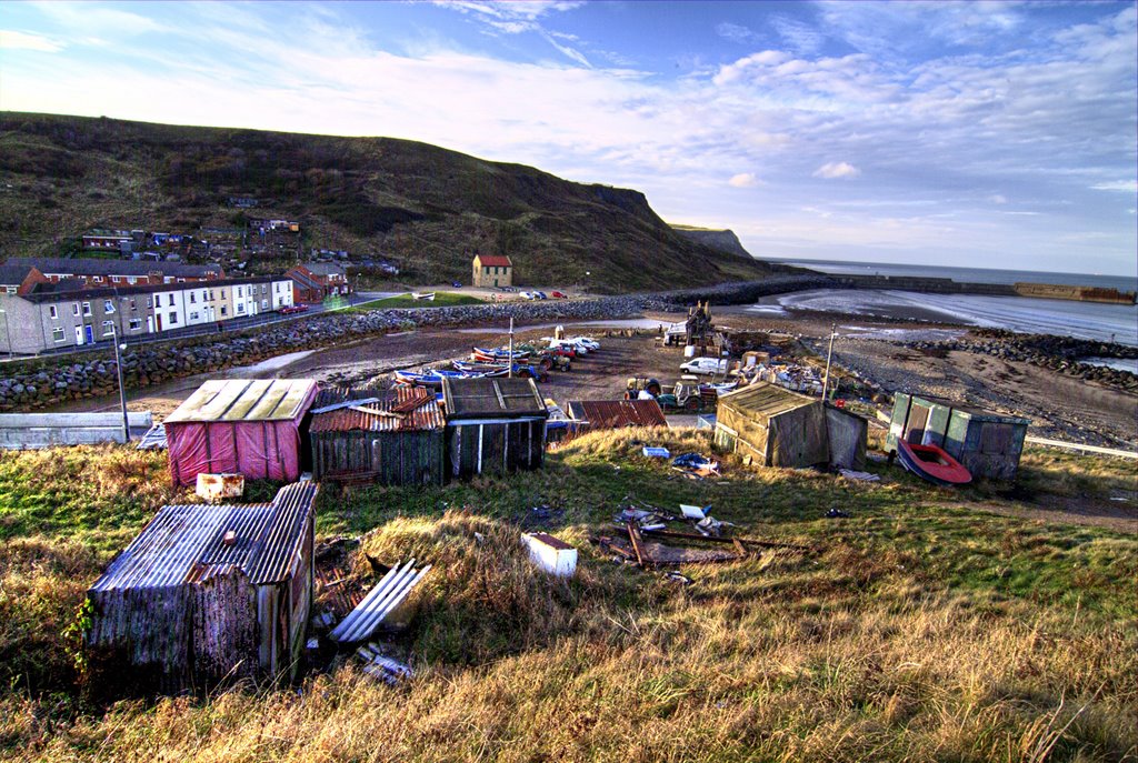
Skinningrove
Uploaded by Bay Photographic on 11 December 2007
Uploaded by Bay Photographic on 11 December 2007
 Photo © Bay Photographic, 11 December 2007.
Licensed for reuse under this Creative Commons licence
Photo © Bay Photographic, 11 December 2007.
Licensed for reuse under this Creative Commons licence
Location: Skinningrove
Location type: Village
OS Grid: NZ710204
Coordinates: 54°34'28"N 0°54'9"W
Mapcode: GBR QH4J.DW
What 3 Words: masts.install.wordplay
Coordinates and location codes are for an approximate mid-point of the beach, and may not reflect the best access point or the most popular part of the beach.
Country: England
Local Authority: Redcar and Cleveland
Parish: Loftus
Nearest postcode: TS13 4BG
(for sat-nav purposes only, a beach does not have a postal address!)