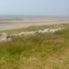
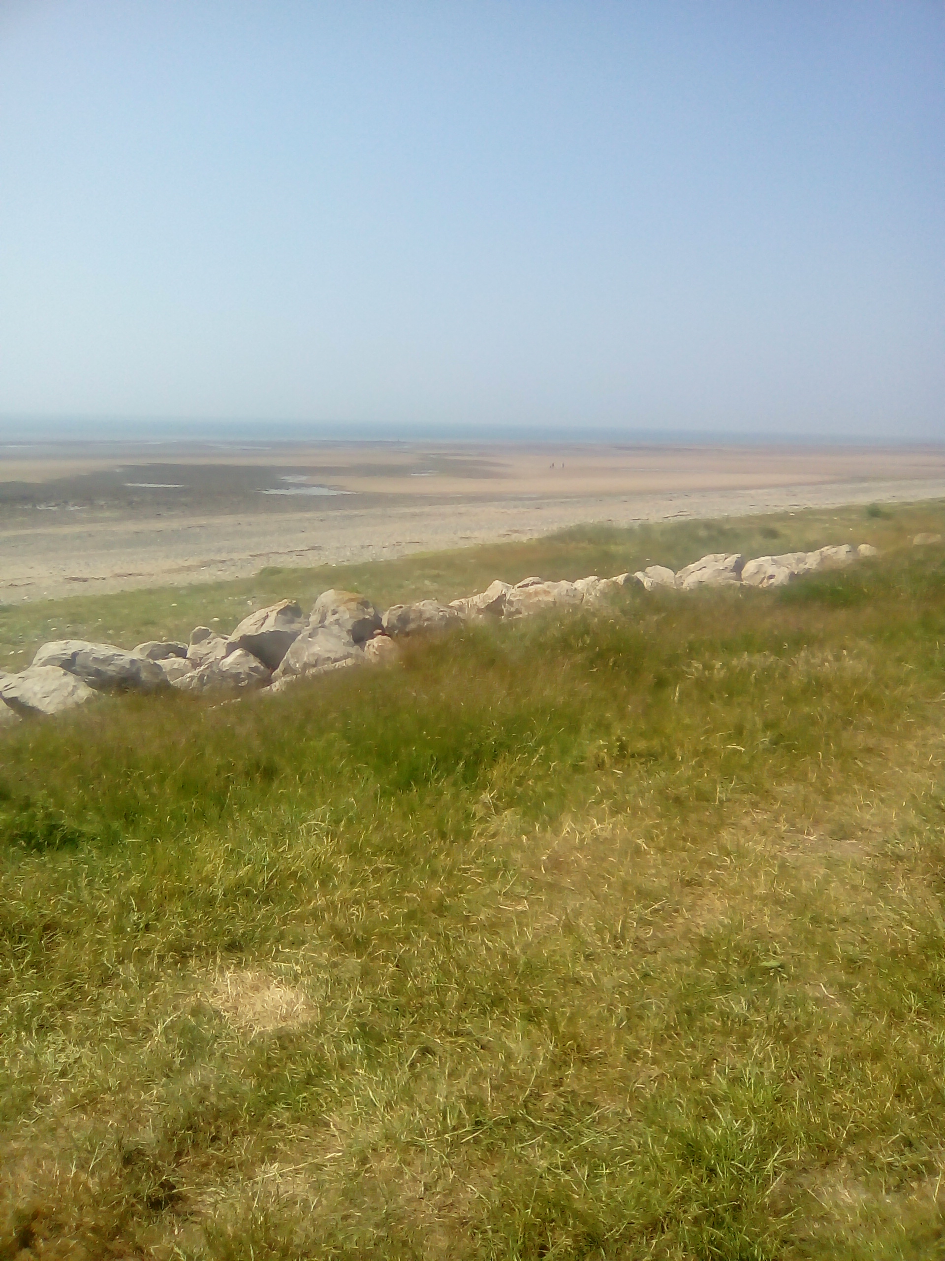
Bigger bank beach
Uploaded by Ciara on 22 July 2018
Uploaded by Ciara on 22 July 2018
 Photo © Ciara , 22 July 2018.
Licensed for reuse under this Creative Commons licence
Photo © Ciara , 22 July 2018.
Licensed for reuse under this Creative Commons licence
Location: Tummer Hill, Barrow-in-Furness
Location type: Town
OS Grid: SD178673
Coordinates: 54°5'43"N 3°15'28"W
Mapcode: GBR 5PP2.GP
What 3 Words: scans.free.tour
Coordinates and location codes are for an approximate mid-point of the beach, and may not reflect the best access point or the most popular part of the beach.
County: Cumbria
Country: England
Local Authority: Barrow-in-Furness
Nearest postcode: LA14 3YF
(for sat-nav purposes only, a beach does not have a postal address!)