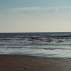
Low tide
Uploaded by gordo1958 on 26 October 2011
Uploaded by gordo1958 on 26 October 2011
 Photo © gordo1958, 26 October 2011.
Licensed for reuse under this Creative Commons licence
Photo © gordo1958, 26 October 2011.
Licensed for reuse under this Creative Commons licence
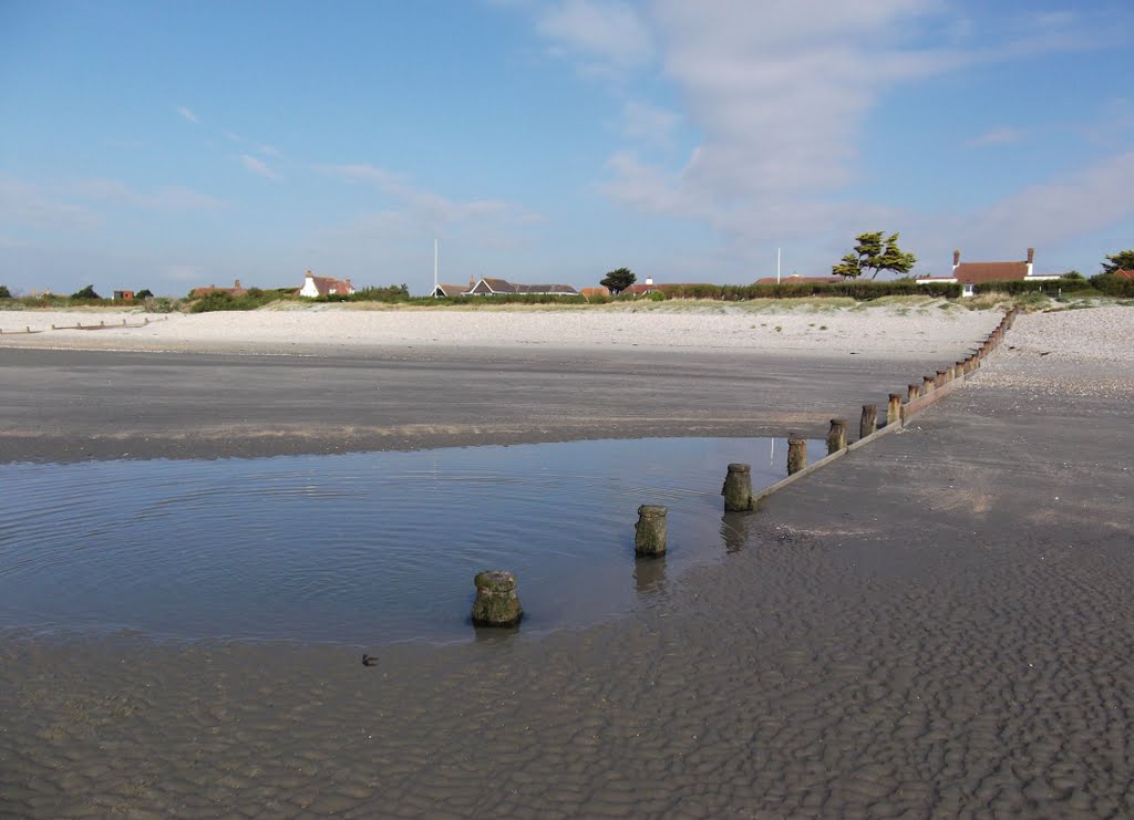
Location: West Wittering
Location type: Village
OS Grid: SZ769979
Coordinates: 50°46'35"N 0°54'33"W
Mapcode: GBR CG1.BVL
What 3 Words: folks.tiredness.milky
Coordinates and location codes are for an approximate mid-point of the beach, and may not reflect the best access point or the most popular part of the beach.
County: West Sussex
Country: England
Local Authority: Chichester
Parish: West Wittering
Nearest postcode: PO20 8AU
(for sat-nav purposes only, a beach does not have a postal address!)