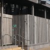
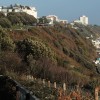
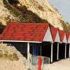
SCP | Above Durley Chine, Bournemouth
Uploader's Comments
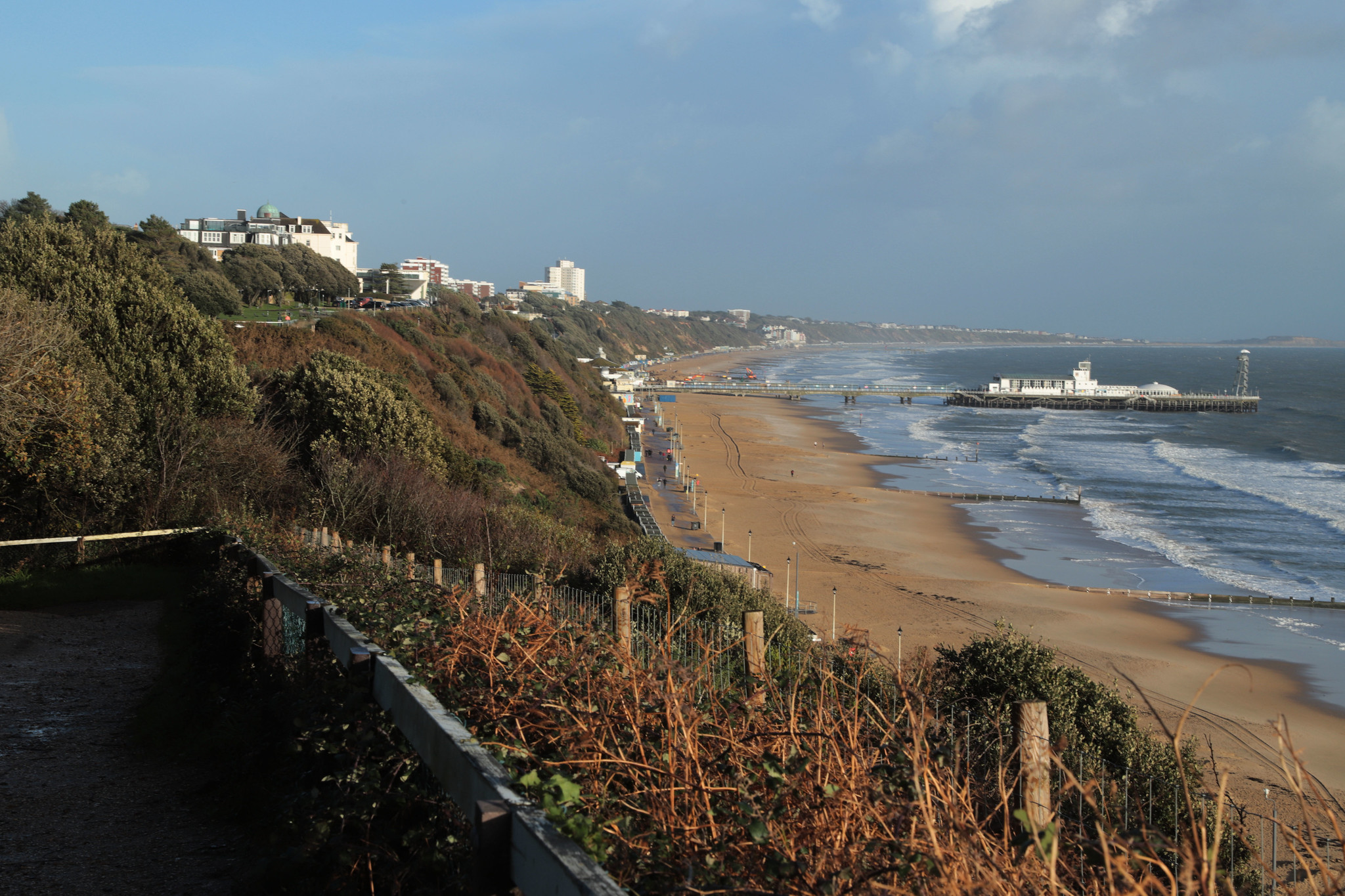
South Coast Path | Sandbanks to Bournemouth (high level version)
Uploaded to Flickr by Carneddau on 25 November 2022
South Coast Path | Sandbanks to Bournemouth (high level version)
Uploaded to Flickr by Carneddau on 25 November 2022
 Photo © Carneddau, 25 November 2022.
Licensed for reuse under this Creative Commons licence
Photo © Carneddau, 25 November 2022.
Licensed for reuse under this Creative Commons licence
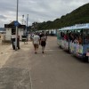
Location: West Cliff, Bournemouth
Location type: Urban
OS Grid: SZ079903
Coordinates: 50°42'46"N 1°53'20"W
Mapcode: GBR 447.96P
What 3 Words: lined.meant.excuse
Coordinates and location codes are for an approximate mid-point of the beach, and may not reflect the best access point or the most popular part of the beach.
Country: England
Local Authority: Bournemouth
Nearest postcode: BH2 5HQ
(for sat-nav purposes only, a beach does not have a postal address!)