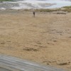
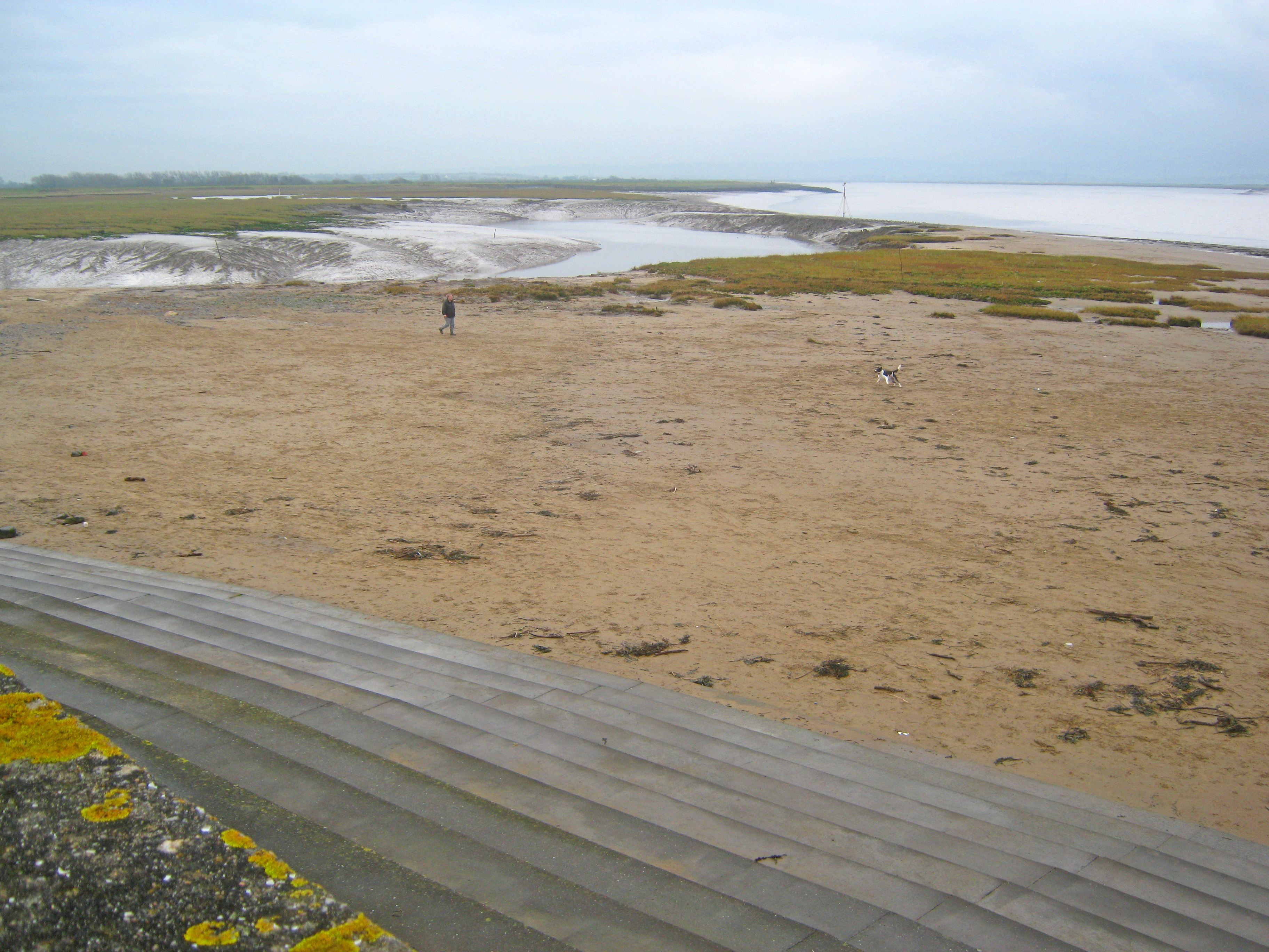
South end of the Burnham beach
Uploader's Comments
Looking south from the sea defences. The Burnham beach gives way to the Brue estuary at the point where it joins the Parrett Estuary.
Uploaded to Geograph by Trevor Rickard on 7 January 2013
Looking south from the sea defences. The Burnham beach gives way to the Brue estuary at the point where it joins the Parrett Estuary.
Uploaded to Geograph by Trevor Rickard on 7 January 2013
 Photo © Trevor Rickard, 7 January 2013.
Licensed for reuse under this Creative Commons licence
Photo © Trevor Rickard, 7 January 2013.
Licensed for reuse under this Creative Commons licence
Location: Burnham-on-Sea
Location type: Urban
OS Grid: ST301480
Coordinates: 51°13'37"N 3°0'7"W
Mapcode: GBR M5.2WTK
What 3 Words: inner.spice.barbarian
Coordinates and location codes are for an approximate mid-point of the beach, and may not reflect the best access point or the most popular part of the beach.
County: Somerset
Country: England
Local Authority: Sedgemoor
Parish: Burnham-on-Sea and Highbridge
Nearest postcode: TA8 1LA
(for sat-nav purposes only, a beach does not have a postal address!)