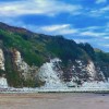
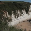
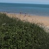
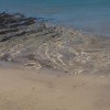
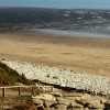
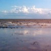
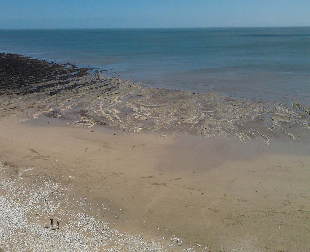
Beach at Dykes End
Uploader's Comments
Low tide exposes a sandy beach and the base of the long eroded chalk cliffs beyond that.
Uploaded to Geograph by JThomas on 27 April 2013
Low tide exposes a sandy beach and the base of the long eroded chalk cliffs beyond that.
Uploaded to Geograph by JThomas on 27 April 2013
 Photo © JThomas, 27 April 2013.
Licensed for reuse under this Creative Commons licence
Photo © JThomas, 27 April 2013.
Licensed for reuse under this Creative Commons licence
Location: Sewerby
Location type: Rural
OS Grid: TA216691
Coordinates: 54°6'12"N 0°8'30"W
Mapcode: GBR WNGZ.3Q
What 3 Words: hardens.denoting.notes
Coordinates and location codes are for an approximate mid-point of the beach, and may not reflect the best access point or the most popular part of the beach.
Country: England
Local Authority: East Riding of Yorkshire
Parish: Bridlington
Nearest postcode: YO15 1DW
(for sat-nav purposes only, a beach does not have a postal address!)