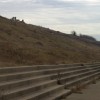
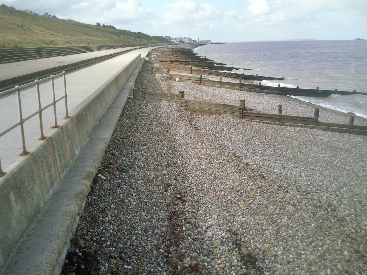
Saxon Shore Way under Beltinge Cliff
Uploader's Comments
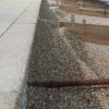
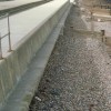
It is quite a long walk from here into Herne Bay, the clock tower and both ends of its pier appearing in the distance. The groynes along here are in rather better shape than the ones further to the east at Minnis Bay.
Uploaded to Geograph by Marathon on 17 September 2010