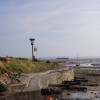
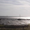
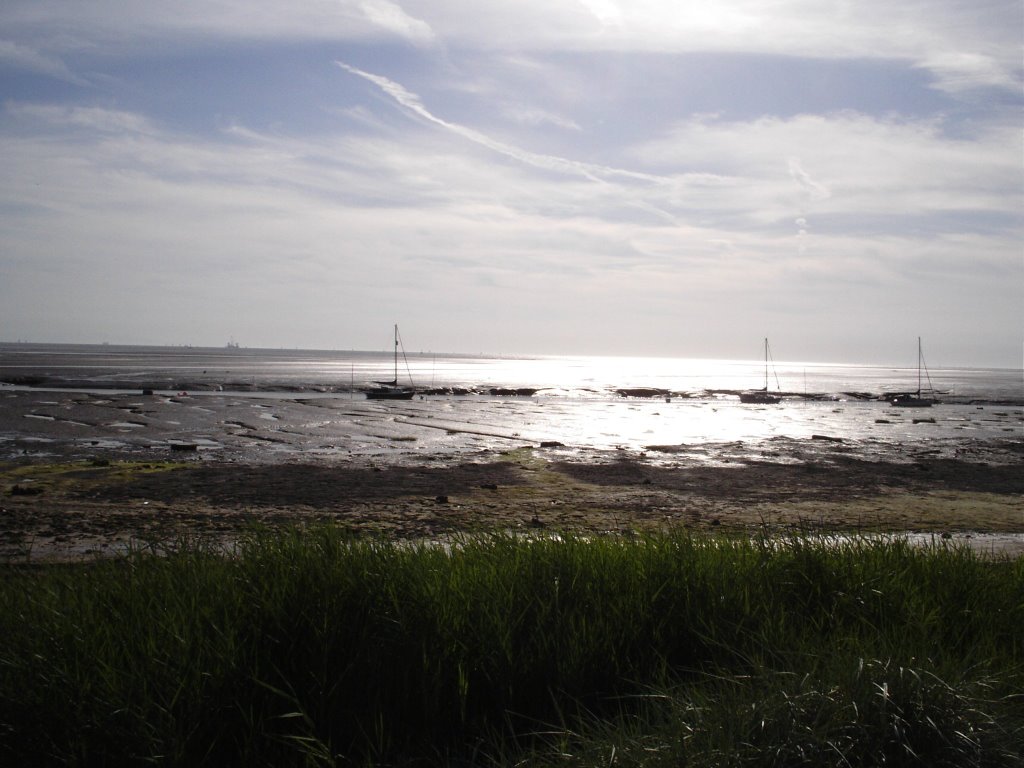
Hightown
Uploaded by muba on 16 December 2006
Uploaded by muba on 16 December 2006
 Photo © muba, 16 December 2006.
Licensed for reuse under this Creative Commons licence
Photo © muba, 16 December 2006.
Licensed for reuse under this Creative Commons licence
Location: Hightown
Location type: Town
OS Grid: SD294034
Coordinates: 53°31'24"N 3°3'54"W
Mapcode: GBR 7W1P.6P
What 3 Words: flight.eagle.hack
Coordinates and location codes are for an approximate mid-point of the beach, and may not reflect the best access point or the most popular part of the beach.
Country: England
Local Authority: Sefton
Parish: Hightown
Nearest postcode: L38 0BU
(for sat-nav purposes only, a beach does not have a postal address!)