Approximate Location Map
Use two fingers to pan or zoom the map
Use two fingers to pan or zoom the map
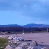
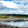
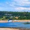
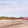
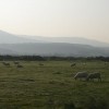
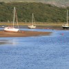
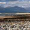
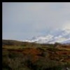
Llandanwg Beach is a west-facing, shallow sandy beach situated at the southern end of Tremadog Bay. The beach is backed by sand dunes, residential homes, and agricultural land, and is part of the wider Snowdonia National Park.
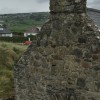
The beach is located between the towns of Barmouth and Harlech on the southern side of Tremadog Bay, close to the Afon Dwyryd estuary. A small path winds through the dunes and leads to the beach from the central car park area, or alternatively, a trail can be taken from Cardigan Bay. The sand dunes conceal the tiny 13th-century church of Saint Tanwg.
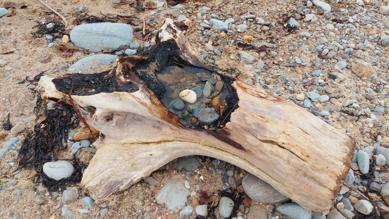
The beach shelves gently into the sea, making it a good place to swim, although there is no lifeguard, so care should be taken. At low tide, a causeway is revealed to Mochras, also known as Shell Island, due to the variety of coloured shells found on its beach. The beach is popular with locals, including fishermen who come for the plentiful supplies of bass, mackerel, flatfish, and dogfish. Keen anglers will find plenty to do, or they can explore rock pools or go for a stroll on the soft, pristine sand. Amenities include disabled access and a nearby cafe, Y Maes Cafe, which operates from June to October.
Estuary Sand
| Today |  |
|---|---|
| Chance of rain | 100% |
| Max temperature | 16°C |
| feels like | 17°C |
| Wind 23mph |  |
| Max UV Index |  |
| Tonight |  |
|---|---|
| Chance of rain | 89% |
| Min temperature | 16°C |
| feels like | 11°C |
| Wind 22mph | |
The tide at Llandanwg Beach is currently rising. High tide will be at approximately 1:24 PM, and the next low tide will be at approximately 7:35 PM.
 Today's air pollution levels are forecast to be Low
 Campsite
 Food available
 Toilets
There is a car park next to the beach.
Dog restrictions apply.
No lifeguard cover at this beach

Excellent water quality
around 2 miles north as the seagull flies, around 3 miles by road.
around 3 miles south as the seagull flies, around 6 miles by road.
around 4 miles south-southeast as the seagull flies, around 7 miles by road.
around 5 miles north-northwest as the seagull flies, around 15 miles by road.
around 6 miles north as the seagull flies, around 13 miles by road.
around 6 miles north-northwest as the seagull flies, around 15 miles by road.
around 7 miles northwest as the seagull flies, around 16 miles by road.
around 7 miles northwest as the seagull flies, around 16 miles by road.
around 8 miles south-southeast as the seagull flies, around 10 miles by road.
around 10 miles west-northwest as the seagull flies, around 21 miles by road.
around 10 miles south-southeast as the seagull flies, around 24 miles by road or 14 miles on foot using coastal paths.
around 11 miles west-northwest as the seagull flies, around 23 miles by road.
around 11 miles south as the seagull flies, around 27 miles by road or 17 miles on foot using coastal paths.
around 13 miles west-northwest as the seagull flies, around 26 miles by road.
around 15 miles west as the seagull flies, around 29 miles by road.
around 16 miles west as the seagull flies, around 33 miles by road.
around 16 miles west as the seagull flies, around 32 miles by road.
around 17 miles northwest as the seagull flies, around 29 miles by road.
around 17 miles south as the seagull flies, around 36 miles by road or 24 miles on foot using coastal paths.
around 17 miles north-northwest as the seagull flies, around 27 miles by road.
Location: Llandanwg
Location type: Rural
OS Grid: SH567281
Coordinates: 52°49'55"N 4°7'38"W
Mapcode: GBR 5P.TRVL
What 3 Words: betraying.flanks.envy
Coordinates and location codes are for an approximate mid-point of the beach, and may not reflect the best access point or the most popular part of the beach.
Country: Wales
Local Authority: Gwynedd
Parish: Llanfair
Nearest postcode: LL46 2SD
(for sat-nav purposes only, a beach does not have a postal address!)
Important! Beach information is compiled from a variety of different sources and is correct to the best of our knowledge at the time of compilation. However, information may be incorrectly supplied by our sources or go out of date after publication. BritishBeaches.uk makes no warranty as to the accuracy of any information on this page.