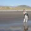
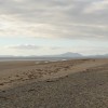
Wartime Pillbox at Dyffryn beach
Uploader's Comments
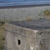
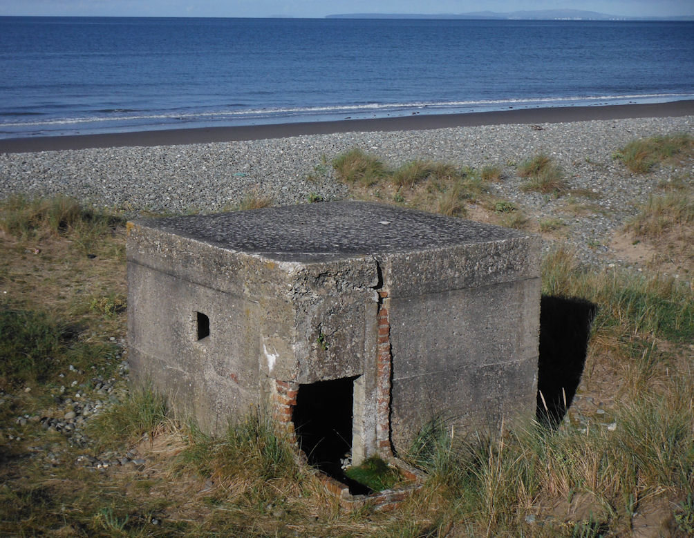
2nd World War Pillbox at Dyffryn Sands
Uploaded to Geograph by Arthur C Harris on 9 September 2013
2nd World War Pillbox at Dyffryn Sands
Uploaded to Geograph by Arthur C Harris on 9 September 2013
 Photo © Arthur C Harris, 9 September 2013.
Licensed for reuse under this Creative Commons licence
Photo © Arthur C Harris, 9 September 2013.
Licensed for reuse under this Creative Commons licence
Location: Llanenddwyn
Location type: Village
OS Grid: SH568227
Coordinates: 52°47'0"N 4°7'27"W
Mapcode: GBR 5Q.XLMC
What 3 Words: channel.whoever.spurted
Coordinates and location codes are for an approximate mid-point of the beach, and may not reflect the best access point or the most popular part of the beach.
Country: Wales
Local Authority: Gwynedd
Parish: Dyffryn Ardudwy
Nearest postcode: LL44 2HD
(for sat-nav purposes only, a beach does not have a postal address!)