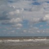
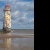
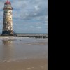
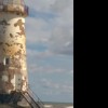
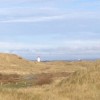
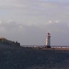
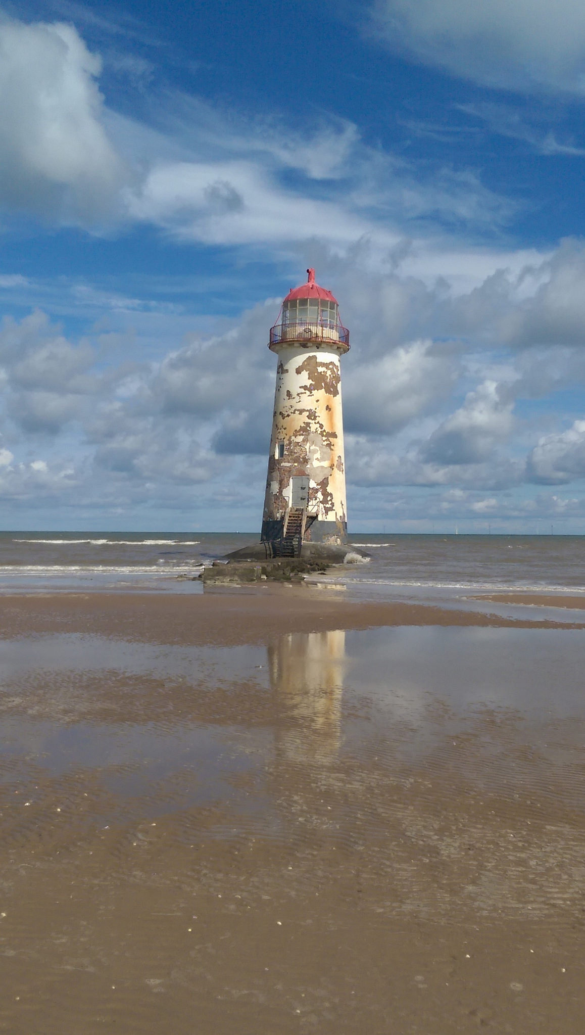
Point of Ayr Lighthouse
Uploader's Comments
Built in 1776, to the design of Joseph Turner of Hawarden, as a landfall light marking the entrance to the Dee Estuary, and constructed following the loss of 2 Dublin packets. The structure was modelled on a pre-existing Liverpool Docks Board light at Hoylake. Trinity House assumed responsibility for the light in 1819 and rebuilt the upper section with a new lantern light. It was decommissioned in 1884
Uploaded to Flickr by Reading Tom on 6 August 2017