Approximate Location Map
Use two fingers to pan or zoom the map
Use two fingers to pan or zoom the map
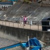
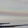
Sheringham Beach is made up of sand with areas of shingle and larger stones. At low tide, the beach reveals a wide stretch of golden sand and rock pools filled with miniature marine life, perfect for families to sunbathe and explore. However, as the tide comes in, the beach all but disappears. The beach is divided by wooden groynes, which reduce erosion and movement of sand along the North Norfolk coastline.
The beach has ample facilities, including parking, toilets, and showers. There are also many cafes and places to eat that line the seafront, as well as a museum and lifeguard station. An impressive promenade runs along the main length of the beach, giving access to Sheringham town and offering pleasant coastal walks in both directions. Visitors can also enjoy a range of entertainment facilities, making it an ideal destination for families.
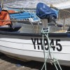
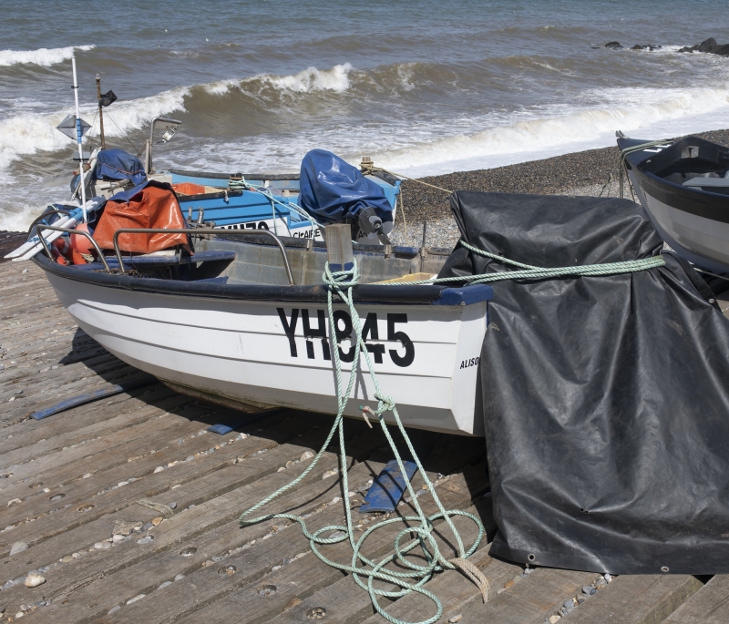
Sheringham Beach is popular with families and supports a small fishing boat fleet launching from the West prom. Two teams of RNLI lifeguards operate during the summer months, and beach huts are available for hire. The beach also hosts various events throughout the year, including the annual Crab and Lobster Festival in May, which celebrates the town's fishing industry. Visitors can also enjoy a round of golf at the nearby Sheringham Golf Club, which offers spectacular sea views.
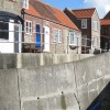
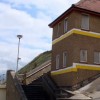
Sheringham is located 5 miles west of Cromer and is a seaside town with a fishing industry based on crabs, lobsters, and whelks. Pedestrian access to the beach is from Beach Road down a ramp or via West Cliff Garden. The Norfolk Coast Path runs past the beach, and visitors can also walk along the promenade, which offers sea views and access to cafes and restaurants.
Dogs are restricted to a dog-friendly zone from May through September, making it essential for dog owners to be aware of the rules before visiting the beach.
The seaside town of Sheringham was once a small Norfolk fishing village until the late 1800s, when the arrival of the railway brought visitors from around the country. Today, it remains a lovely seaside destination for families, with plenty of amenities and things to do.
Sheringham Beach is adjacent to the Norfolk Coast Path.
Sand Rock
| Today |  |
|---|---|
| Chance of rain | 70% |
| Max temperature | 19°C |
| feels like | 19°C |
| Wind 19mph |  |
| Max UV Index |  |
| Tonight |  |
|---|---|
| Chance of rain | % |
| Min temperature | 12°C |
| feels like | 13°C |
| Wind 16mph |  |
The tide at Sheringham Beach is currently falling. Low tide will be at approximately 5:29 PM, and the next high tide will be at approximately 11:09 PM.
 Today's air pollution levels are forecast to be Low
 Food available
 Toilets
 Shops
Shops
There is parking off The Esplanade.
Dogs are not allowed during the summer months.

Daily - 7th May - 11th September



Water quality not measured here
around 2 miles east as the seagull flies, around 2 miles by road or 2 miles on foot using coastal paths.
around 3 miles east-southeast as the seagull flies, around 3 miles by road.
around 4 miles east-southeast as the seagull flies, around 4 miles by road.
around 6 miles east-southeast as the seagull flies, around 7 miles by road.
around 7 miles west as the seagull flies, around 10 miles by road or 7 miles on foot using coastal paths.
around 11 miles east-southeast as the seagull flies, around 13 miles by road.
around 15 miles west as the seagull flies, around 19 miles by road.
around 17 miles west as the seagull flies, around 20 miles by road.
around 20 miles east-southeast as the seagull flies, around 26 miles by road.
around 27 miles southeast as the seagull flies, around 33 miles by road.
around 28 miles southeast as the seagull flies, around 34 miles by road.
around 30 miles west as the seagull flies, around 34 miles by road.
around 30 miles southeast as the seagull flies, around 35 miles by road.
around 30 miles west as the seagull flies, around 38 miles by road.
around 31 miles west as the seagull flies, around 38 miles by road.
around 31 miles southeast as the seagull flies, around 37 miles by road.
Location: Sheringham
Location type: Town
OS Grid: TG160435
Coordinates: 52°56'44"N 1°12'49"E
Mapcode: GBR VBG.7QN
What 3 Words: dabbing.yummy.seemingly
Coordinates and location codes are for an approximate mid-point of the beach, and may not reflect the best access point or the most popular part of the beach.
County: Norfolk
Country: England
Local Authority: North Norfolk
Parish: Sheringham
Nearest postcode: NR26 8BQ
(for sat-nav purposes only, a beach does not have a postal address!)
Important! Beach information is compiled from a variety of different sources and is correct to the best of our knowledge at the time of compilation. However, information may be incorrectly supplied by our sources or go out of date after publication. BritishBeaches.uk makes no warranty as to the accuracy of any information on this page.