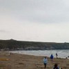
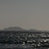
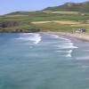
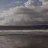
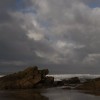
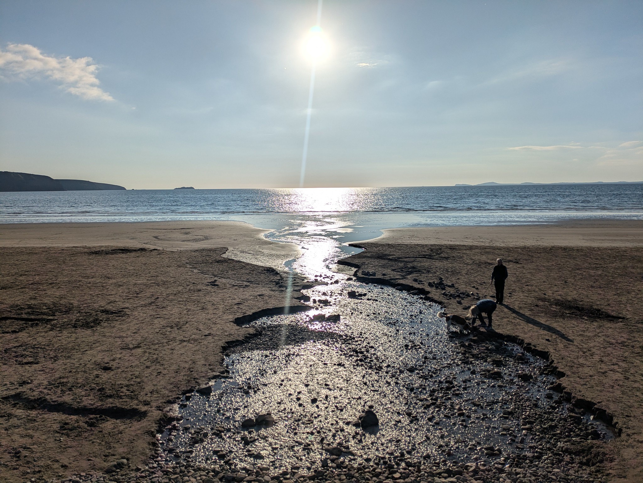
Walking Pembrokeshire coastal path in Wales.
Uploaded to Flickr by Gareth Bellamy on 12 May 2025
Uploaded to Flickr by Gareth Bellamy on 12 May 2025
 Photo © Gareth Bellamy, 12 May 2025.
Licensed for reuse under this Creative Commons licence
Photo © Gareth Bellamy, 12 May 2025.
Licensed for reuse under this Creative Commons licence
Location: Whitesands Bay (Porth Mawr)
Location type: Rural
Nearest city: Tyddewi (St Davids)
OS Grid: SM732269
Coordinates: 51°53'42"N 5°17'49"W
Mapcode: GBR C4.QW7T
What 3 Words: character.paths.steams
Coordinates and location codes are for an approximate mid-point of the beach, and may not reflect the best access point or the most popular part of the beach.
Country: Wales
Local Authority: Pembrokeshire
Parish: St. David's and the Cathedral Close
Nearest postcode: SA62 6PS
(for sat-nav purposes only, a beach does not have a postal address!)