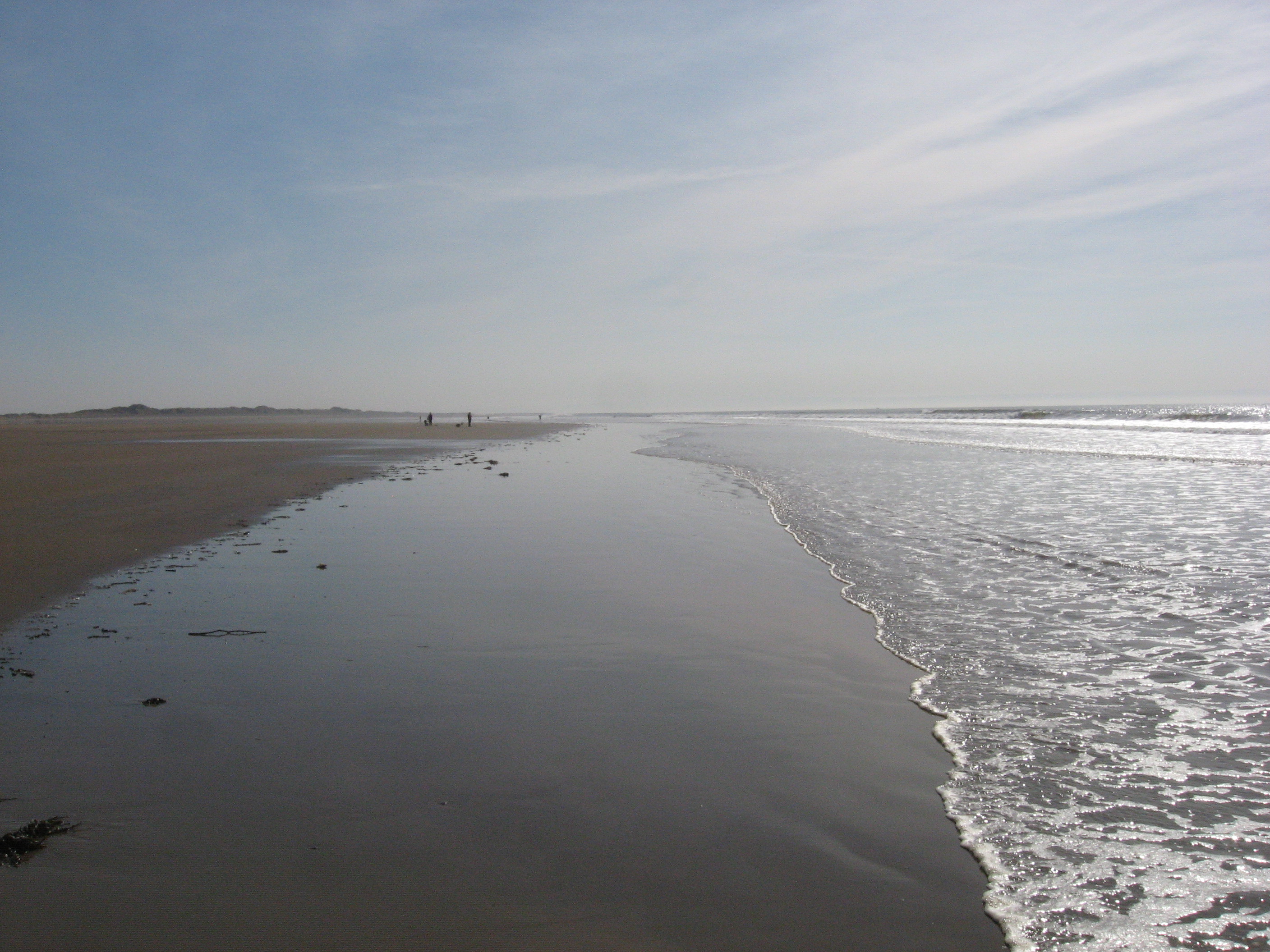
Margam Sands at low tide
Uploaded to Geograph by Gareth James on 19 March 2011
Uploaded to Geograph by Gareth James on 19 March 2011
 Photo © Gareth James, 19 March 2011.
Licensed for reuse under this Creative Commons licence
Photo © Gareth James, 19 March 2011.
Licensed for reuse under this Creative Commons licence
Location: Cwrt-y-defaid
Location type: Village
Nearest village: Eglwys Nunydd
OS Grid: SS771846
Coordinates: 51°32'48"N 3°46'22"W
Mapcode: GBR H4.FMPX
What 3 Words: growth.jeering.genius
Coordinates and location codes are for an approximate mid-point of the beach, and may not reflect the best access point or the most popular part of the beach.
Country: Wales
Local Authority: Neath Port Talbot
Parish: Margam Moors
Nearest postcode: SA13 2NT
(for sat-nav purposes only, a beach does not have a postal address!)