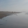
Rock formations on Margam Sands
Uploader's Comments
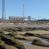
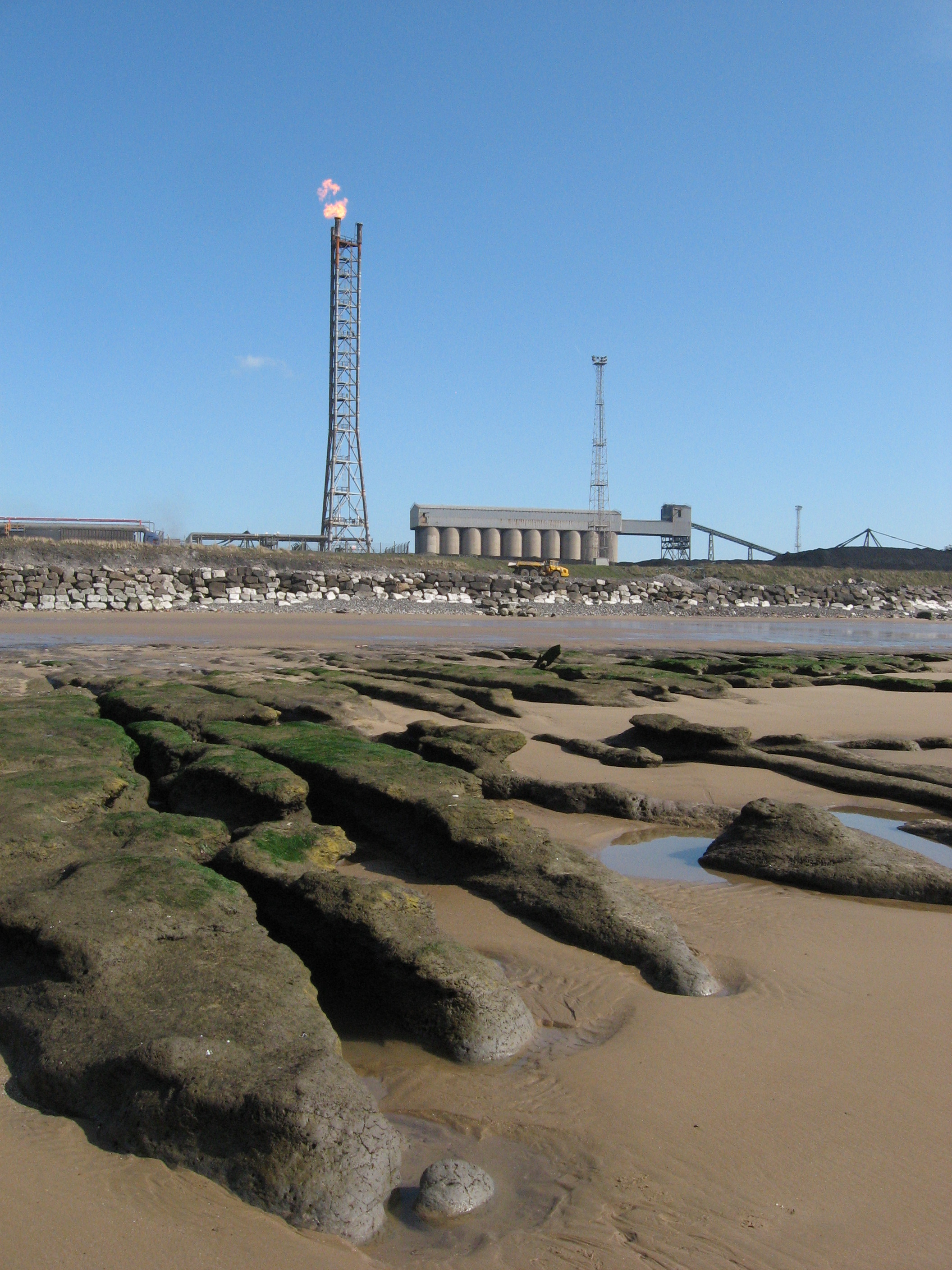
Port Talbot steelworks forms the backdrop.
Uploaded to Geograph by Gareth James on 19 March 2011
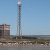
Port Talbot steelworks forms the backdrop.
Uploaded to Geograph by Gareth James on 19 March 2011
 Photo © Gareth James, 19 March 2011.
Licensed for reuse under this Creative Commons licence
Photo © Gareth James, 19 March 2011.
Licensed for reuse under this Creative Commons licence
Location: Cwrt-y-defaid
Location type: Village
Nearest village: Eglwys Nunydd
OS Grid: SS771846
Coordinates: 51°32'48"N 3°46'22"W
Mapcode: GBR H4.FMPX
What 3 Words: growth.jeering.genius
Coordinates and location codes are for an approximate mid-point of the beach, and may not reflect the best access point or the most popular part of the beach.
Country: Wales
Local Authority: Neath Port Talbot
Parish: Margam Moors
Nearest postcode: SA13 2NT
(for sat-nav purposes only, a beach does not have a postal address!)