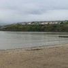
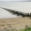
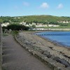
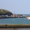
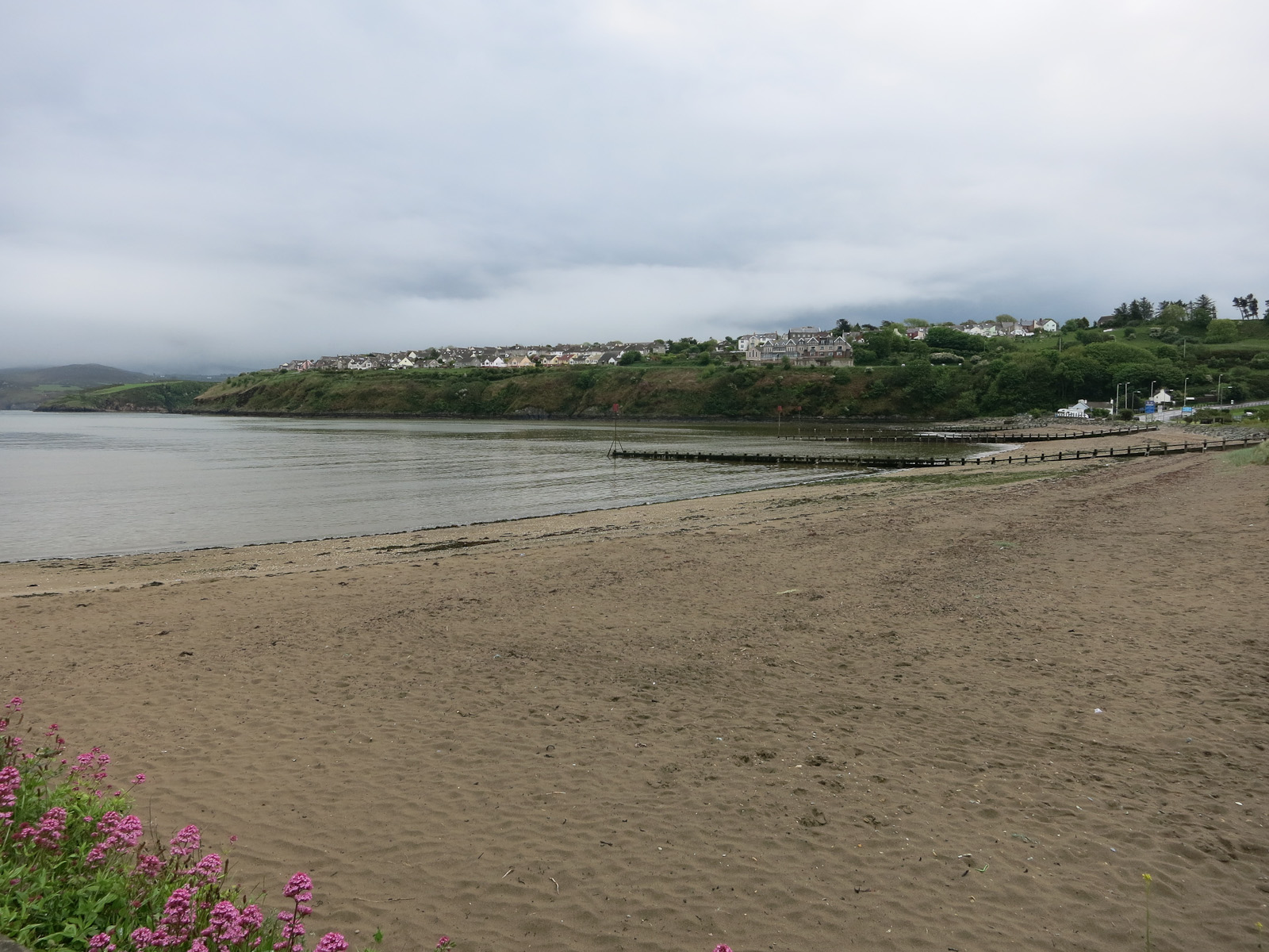
Goodwick Beach
Uploaded to Geograph by Hugh Venables on 25 May 2014
Uploaded to Geograph by Hugh Venables on 25 May 2014
 Photo © Hugh Venables, 25 May 2014.
Licensed for reuse under this Creative Commons licence
Photo © Hugh Venables, 25 May 2014.
Licensed for reuse under this Creative Commons licence
Location: Wdig (Goodwick)
Location type: Town
OS Grid: SM948378
Coordinates: 52°0'3"N 4°59'23"W
Mapcode: GBR CK.J0Z6
What 3 Words: blink.mimed.plea
Coordinates and location codes are for an approximate mid-point of the beach, and may not reflect the best access point or the most popular part of the beach.
Country: Wales
Local Authority: Pembrokeshire
Parish: Fishguard and Goodwick
Nearest postcode: SA65 9PN
(for sat-nav purposes only, a beach does not have a postal address!)