Approximate Location Map
Use two fingers to pan or zoom the map
Use two fingers to pan or zoom the map
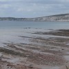
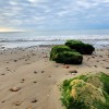
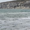
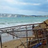
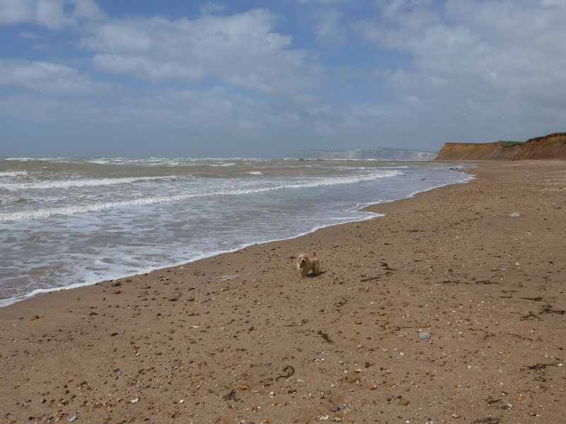
Compton Bay is a two mile stretch of sand and rocky shore, characterised by its rural and unspoilt nature. The beach is situated on the south west coast of the Isle of Wight, an area designated as a Site of Special Scientific Interest (SSSI), a Heritage Coast, and an Area of Outstanding Natural Beauty.
The beach shelves gently from the foot of the cliffs and consists mostly of sand, which is largely covered by the sea at high tide. At low tide, it is possible to see dinosaur footprints printed into the rocks, making it a popular destination for fossil hunters. The beach is popular for surf sports, including surfing, windsurfing, and kite surfing. Facilities are limited to toilets and a refreshment van during the summer months.
To reach Compton Bay, visitors need to find the car park near Shippards Chine and 'Hanover Point', located just off the A3055. The beach is situated on the coast road between Freshwater Bay and Brook, and is accessible by car or on foot.
Compton Bay is on the Tennyson Heritage Coast, and adjacent to the Isle of Wight Coast Path.
Sand
| Today |  |
|---|---|
| Chance of rain | 95% |
| Max temperature | 19°C |
| feels like | 21°C |
| Wind 19mph |  |
| Max UV Index |  |
| Tonight |  |
|---|---|
| Chance of rain | % |
| Min temperature | 13°C |
| feels like | 16°C |
| Wind 16mph |  |
The tide at Compton Bay is currently rising. High tide will be at approximately 1:25 AM, and the next low tide will be at approximately 8:18 AM.
 Today's air pollution levels are forecast to be Low
 Campsite
 Toilets
Large National trust car park at Hanover Point/Shippard's Chine.
Dogs not allowed between 1st May and 30th September.
Beach cleaned daily during the summer.
No lifeguard cover at this beach


Water quality not measured here
around 4 miles north-northwest as the seagull flies, around 7 miles by road.
around 4 miles west-northwest as the seagull flies, around 5 miles by road.
around 4 miles northwest as the seagull flies, around 5 miles by road.
around 4 miles north-northwest as the seagull flies, around 5 miles by road.
around 10 miles northeast as the seagull flies, around 13 miles by road.
around 10 miles northeast as the seagull flies, around 14 miles by road.
around 12 miles east-southeast as the seagull flies, around 15 miles by road.
around 13 miles east as the seagull flies, around 16 miles by road.
around 13 miles east as the seagull flies, around 17 miles by road.
around 14 miles east as the seagull flies, around 18 miles by road.
around 14 miles east-northeast as the seagull flies, around 18 miles by road.
around 15 miles east as the seagull flies, around 18 miles by road.
around 15 miles east-northeast as the seagull flies, around 19 miles by road.
around 16 miles east-northeast as the seagull flies, around 19 miles by road.
around 16 miles east-northeast as the seagull flies, around 20 miles by road.
around 16 miles east as the seagull flies, around 20 miles by road.
around 16 miles east-northeast as the seagull flies, around 20 miles by road.
around 18 miles east as the seagull flies, around 21 miles by road.
around 7 miles northwest as the seagull flies, around 15 miles by road.
around 10 miles west-northwest as the seagull flies, around 18 miles by road.
Location: Dunsbury
Location type: Rural
Nearest village: Brook
OS Grid: SZ377840
Coordinates: 50°39'18"N 1°28'1"W
Mapcode: GBR 79C.V6T
What 3 Words: hotels.indicated.flannel
Coordinates and location codes are for an approximate mid-point of the beach, and may not reflect the best access point or the most popular part of the beach.
Country: England
Local Authority: Isle of Wight
Parish: Freshwater
Nearest postcode: PO30 4HD
(for sat-nav purposes only, a beach does not have a postal address!)
Important! Beach information is compiled from a variety of different sources and is correct to the best of our knowledge at the time of compilation. However, information may be incorrectly supplied by our sources or go out of date after publication. BritishBeaches.uk makes no warranty as to the accuracy of any information on this page.