Approximate Location Map
Use two fingers to pan or zoom the map
Use two fingers to pan or zoom the map
Lindisfarne is a tidal island famous for its medieval religious heritage and picturesque 16th-century castle. The island has a rich history, with the Lindisfarne Priory, a medieval monastery, being a notable landmark. The island's castle, built in the 16th century, is another popular attraction.
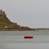
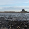
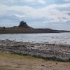
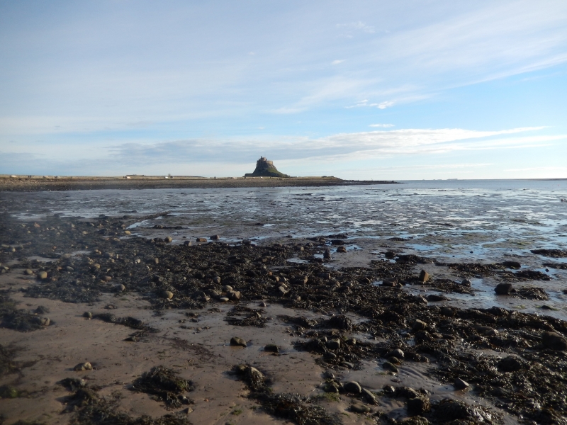
The Harbour beach on Holy Island is one of the easiest to access, located on the shoreward side of the island. Although the beach itself may not be as visually stunning as other expansive, sandy beaches in the area, it offers great views of Lindisfarne Castle and the medieval Priory. Visitors can enjoy a range of facilities close to the beach.
As a tidal island, access to Lindisfarne is via a paved causeway that is covered at high tide. Visitors planning to walk to and from the island need to be mindful of the tides to ensure safe passage.
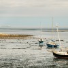
Holy Island Harbour Beach is a small beach with views of the harbour, Lindisfarne Castle, and the ruins of Lindisfarne Priory.
Holy Island Beach is on the North Northumberland Heritage Coast.
Sand Shingle Rock
| Today |  |
|---|---|
| Chance of rain | 20% |
| Max temperature | 16°C |
| feels like | 17°C |
| Wind 9mph |  |
| Max UV Index |  |
| Tonight |  |
|---|---|
| Chance of rain | 74% |
| Min temperature | 13°C |
| feels like | 11°C |
| Wind 14mph |  |
The tide at Holy Island Beach is currently falling. Low tide will be at approximately 12:20 PM, and the next high tide will be at approximately 6:47 PM.
 Today's air pollution levels are forecast to be Low
 Food available
 Shops
Shops
Parking available in Holy Village.
Dogs are allowed.
No lifeguard cover at this beach

Water quality not measured here
around 5 miles southeast as the seagull flies, around 17 miles by road.
around 7 miles west-northwest as the seagull flies, around 13 miles by road or 10 miles on foot using coastal paths.
around 8 miles southeast as the seagull flies, around 19 miles by road.
around 9 miles southeast as the seagull flies, around 21 miles by road.
around 10 miles northwest as the seagull flies, around 13 miles by road.
around 10 miles northwest as the seagull flies, around 13 miles by road.
around 10 miles northwest as the seagull flies, around 14 miles by road.
around 10 miles southeast as the seagull flies, around 23 miles by road.
around 11 miles northwest as the seagull flies, around 15 miles by road.
around 13 miles south-southeast as the seagull flies, around 28 miles by road.
around 16 miles south-southeast as the seagull flies, around 29 miles by road.
around 18 miles northwest as the seagull flies, around 24 miles by road.
around 18 miles south-southeast as the seagull flies, around 30 miles by road.
around 20 miles northwest as the seagull flies, around 28 miles by road.
around 21 miles northwest as the seagull flies, around 29 miles by road.
around 21 miles south-southeast as the seagull flies, around 31 miles by road.
around 23 miles south-southeast as the seagull flies, around 34 miles by road.
around 26 miles south-southeast as the seagull flies, around 38 miles by road.
around 28 miles northwest as the seagull flies, around 35 miles by road.
around 28 miles south-southeast as the seagull flies, around 39 miles by road.
Location: Holy Island
Location type: Village
OS Grid: NU130418
Coordinates: 55°40'10"N 1°47'40"W
Mapcode: GBR H2XW.8D
What 3 Words: tester.marmalade.cloth
Coordinates and location codes are for an approximate mid-point of the beach, and may not reflect the best access point or the most popular part of the beach.
Country: England
Local Authority: Northumberland
Parish: Holy Island
Nearest postcode: TD15 2SP
(for sat-nav purposes only, a beach does not have a postal address!)
Important! Beach information is compiled from a variety of different sources and is correct to the best of our knowledge at the time of compilation. However, information may be incorrectly supplied by our sources or go out of date after publication. BritishBeaches.uk makes no warranty as to the accuracy of any information on this page.