Approximate Location Map
Use two fingers to pan or zoom the map
Use two fingers to pan or zoom the map
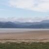
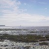
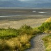
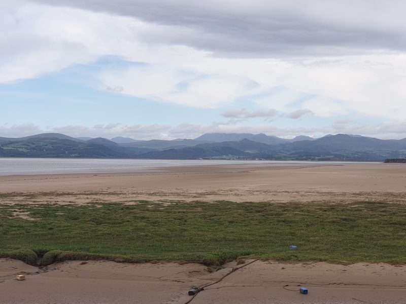
The long, sandy beach in front of Askam village is situated on the northern coast of the Furness peninsula. Backed by dunes and marshes, the coast here offers views over the sands of the Duddon Estuary. In the mid-19th century, iron ore began to be mined in the area and the village expanded to provide homes to the migrant workers who came from Ireland, Cornwall and beyond to work in the local iron and steel works.
The mining stopped in the early 20th century, but there remain reminders of the town’s industrial heritage, from street names, to the bizarre-looking Askam Pier which stretches out into the estuary. The pier is actually made from slag from the old iron works. A walk along the length of the pier offers fine views but can be quite exposed to the strong winds blowing in from the sea. Look out for red slag heaps all around this area of the coast. These former slag heaps, now grassed over are home to a wide variety of flora and fauna and have led to the beach being designated a Site of Special Scientific interest.
Askam Beach, with stunning panoramic views across the estuary to Duddon Sands, is part of the large nature reserve and home to an array of wildlife. The sandy beach has a pier made from slag, preserving the memory of the iron ore trade and industrial history of the area. The Askam Beach area is home to 15% of the UK’s natterjack toad population.
Askam-in-Furness is the home of Duddon Inshore Rescue - a volunteer lifeboat that serves the notorious tidal waters of the Duddon estuary. Askam Beach is dog friendly and walkers can take in the beautiful coastline and natural scenery.
Askam-in-Furness Beach is adjacent to the Cumbria Coastal Way.
Sand
| Tonight |  |
|---|---|
| Chance of rain | 98% |
| Min temperature | 16°C |
| feels like | 18°C |
| Wind 22mph |  |
| Tomorrow |
 |
|---|---|
| Chance of rain | 66% |
| Max temperature | 17°C |
| feels like | 18°C |
| Wind 23mph |  |
| Max UV Index |  |
The tide at Askam-in-Furness Beach is currently falling. Low tide will be at approximately 10:50 PM, and the next high tide will be at approximately 4:51 AM tomorrow.
 Today's air pollution levels are forecast to be Low
 Campsite
 Toilets
 Shops
Shops
Parking available next to the beach.
Dogs are allowed.
No lifeguard cover at this beach

Water quality not measured here
just over a mile south-southwest as the seagull flies, around 5 miles by road or 2 miles on foot using coastal paths.
around 3 miles northwest as the seagull flies, around 18 miles by road.
around 3 miles west as the seagull flies, around 19 miles by road.
around 4 miles south-southwest as the seagull flies, around 6 miles by road.
around 5 miles south-southwest as the seagull flies, around 10 miles by road or 7 miles on foot using coastal paths.
around 6 miles west-northwest as the seagull flies, around 19 miles by road.
around 6 miles east-southeast as the seagull flies, around 9 miles by road.
around 6 miles southeast as the seagull flies, around 9 miles by road.
around 6 miles south-southwest as the seagull flies, around 8 miles by road.
around 6 miles southeast as the seagull flies, around 8 miles by road.
around 7 miles south-southwest as the seagull flies, around 9 miles by road.
around 12 miles east as the seagull flies, around 22 miles by road.
around 14 miles northwest as the seagull flies, around 30 miles by road.
around 15 miles east as the seagull flies, around 32 miles by road.
around 16 miles east-southeast as the seagull flies, around 49 miles by road.
around 16 miles southeast as the seagull flies, around 49 miles by road.
around 16 miles southeast as the seagull flies, around 51 miles by road.
around 16 miles east-southeast as the seagull flies, around 48 miles by road.
around 16 miles east-southeast as the seagull flies, around 48 miles by road.
around 17 miles east-southeast as the seagull flies, around 40 miles by road.
Location: Askam in Furness
Location type: Town
OS Grid: SD209776
Coordinates: 54°11'17"N 3°12'47"W
Mapcode: GBR 6N00.5F
What 3 Words: infringe.haggis.tilt
Coordinates and location codes are for an approximate mid-point of the beach, and may not reflect the best access point or the most popular part of the beach.
County: Cumbria
Country: England
Local Authority: Barrow-in-Furness
Parish: Askam and Ireleth
Nearest postcode: LA16 7HY
(for sat-nav purposes only, a beach does not have a postal address!)
Important! Beach information is compiled from a variety of different sources and is correct to the best of our knowledge at the time of compilation. However, information may be incorrectly supplied by our sources or go out of date after publication. BritishBeaches.uk makes no warranty as to the accuracy of any information on this page.