Approximate Location Map
Use two fingers to pan or zoom the map
Use two fingers to pan or zoom the map
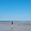
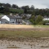
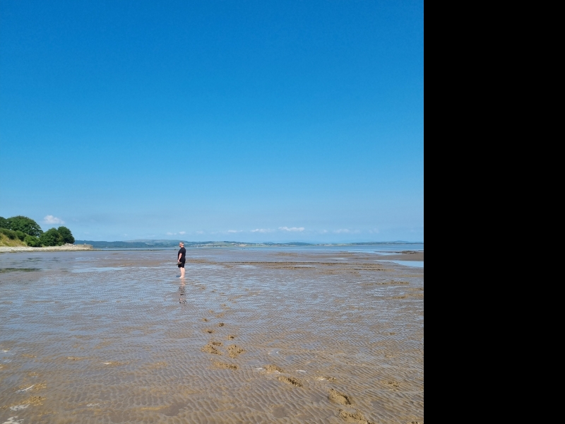
Bardsea beach is located to the north of Aldingham Beach, in close proximity to the village of Bardsea. The beach boasts a wide expanse of shingle and sand, overlooking Morecambe Bay. The coast road between Ulverston and Barrow-in-Furness runs alongside part of the beach, providing easy access and numerous free parking spots. A bus service from Ulverston, approximately 3 miles away, also serves the area.
The beach is quite exposed to winds blowing from Morecambe Bay, making it best suited for walks on calm, sunny days. There are no restrictions on dogs, and visitors can enjoy coastal paths, as well as searching for interesting driftwood and seashells amongst the shingle. Small bonfires have been known to take place on the stones of the beach, and there are plenty of areas suitable for picnicking.
Nearby attractions include the ancient stone circle at Birkrigg, and Conishead Priory, a former Cistercian Abbey, now home to the Manjushri Buddhist Centre. Chapel Island, a small limescale outcrop, can be seen across the bay, approximately one mile from the beach. This island was the site of a 14th-century chapel, built by monks from Conishead Priory, although nothing remains of the original building. Due to the dangers of quicksands and fast-moving tides, it is not recommended to attempt to walk to Chapel Island without an experienced guide.
Bardsea Village serves as an ideal base for walking the Cumbrian Coastal Way and offers easy access to the attractions of the Lake District National Park. The area is home to the Ulverston Golf Club, an 18-hole course with views over Morecambe Bay. Swimming is not recommended due to strong currents. The beach is dog-friendly, and parking is available on the seafront along Coast Road, as well as along the beach front.
Bardsea Beach is adjacent to the Cumbria Coastal Way.
Sand Shingle
| Tonight |  |
|---|---|
| Chance of rain | 87% |
| Min temperature | 16°C |
| feels like | 17°C |
| Wind 22mph |  |
| Tomorrow |
 |
|---|---|
| Chance of rain | 40% |
| Max temperature | 17°C |
| feels like | 18°C |
| Wind 22mph |  |
| Max UV Index |  |
The tide at Bardsea Beach is currently falling. Low tide will be at approximately 11:06 PM, and the next high tide will be at approximately 5:21 AM tomorrow.
 Today's air pollution levels are forecast to be Low
 Food available
 Toilets
Parking is next to the beach.
Dogs are allowed.
No lifeguard cover at this beach

Water quality not measured here
around 2 miles south-southwest as the seagull flies, around 3 miles by road.
around 3 miles south-southwest as the seagull flies, around 4 miles by road.
around 6 miles west-northwest as the seagull flies, around 9 miles by road.
around 6 miles west as the seagull flies, around 9 miles by road.
around 7 miles east-northeast as the seagull flies, around 18 miles by road.
around 7 miles west-southwest as the seagull flies, around 10 miles by road.
around 8 miles west-southwest as the seagull flies, around 14 miles by road.
around 9 miles west-southwest as the seagull flies, around 12 miles by road.
around 9 miles west-southwest as the seagull flies, around 13 miles by road.
around 9 miles west-northwest as the seagull flies, around 22 miles by road.
around 9 miles west-northwest as the seagull flies, around 23 miles by road.
around 10 miles southeast as the seagull flies, around 45 miles by road.
around 10 miles east-northeast as the seagull flies, around 28 miles by road.
around 10 miles southeast as the seagull flies, around 45 miles by road.
around 10 miles southeast as the seagull flies, around 44 miles by road.
around 10 miles east-southeast as the seagull flies, around 44 miles by road.
around 10 miles southeast as the seagull flies, around 46 miles by road.
around 11 miles east-southeast as the seagull flies, around 36 miles by road.
around 12 miles west-northwest as the seagull flies, around 23 miles by road.
around 16 miles south-southeast as the seagull flies, around 54 miles by road.
Location: Bardsea
Location type: Village
OS Grid: SD301739
Coordinates: 54°9'23"N 3°4'15"W
Mapcode: GBR 6NZC.ZS
What 3 Words: denim.fence.property
Coordinates and location codes are for an approximate mid-point of the beach, and may not reflect the best access point or the most popular part of the beach.
County: Cumbria
Country: England
Local Authority: South Lakeland
Parish: Urswick
Nearest postcode: LA12 9RB
(for sat-nav purposes only, a beach does not have a postal address!)
Important! Beach information is compiled from a variety of different sources and is correct to the best of our knowledge at the time of compilation. However, information may be incorrectly supplied by our sources or go out of date after publication. BritishBeaches.uk makes no warranty as to the accuracy of any information on this page.