Approximate Location Map
Use two fingers to pan or zoom the map
Use two fingers to pan or zoom the map
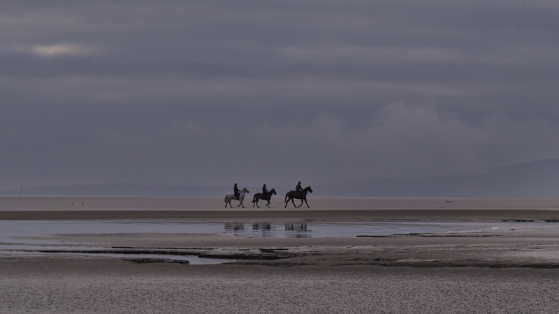
Powfoot Beach is characterised by a salt marsh style coastline, with a small strip of shingle beach along the coast towards Annan and a small area of sand and shingle in front of the car park called Powfoot Scar. However, it is not advisable to approach the water at low tide due to potential dangers, and warning signs must be observed.
The beach is accessible via a path from the attractive village of Powfoot, which takes walkers to the east towards Annan and a shingle area of the beach. The area is popular for walkers and golf enthusiasts, with Powfoot Golf Course overlooking the Firth. Facilities such as parking and a hotel can be found in Powfoot, as well as a number of holiday parks in the area, including the nearby Queensberry caravan park, which also has a small shop and the Sandpiper cafe.
Nearby Cardurnock beach offers a peaceful retreat from the crowds, with flat sands and fantastic views across the Solway Firth. The landscape here is rural and part of the Solway Coast Area of Outstanding Natural Beauty (AONB). Cyclists also pass along this beach on Cycle Route 72.
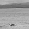
Visitors to Powfoot Beach are advised to exercise caution when exploring the coastline, particularly at low tide. A former tidal swimming pool is now marked by a circular structure that is revealed as the tide drops away.
Mud
| Tonight |  |
|---|---|
| Chance of rain | 67% |
| Min temperature | 15°C |
| feels like | 16°C |
| Wind 20mph |  |
| Tomorrow |
 |
|---|---|
| Chance of rain | 42% |
| Max temperature | 16°C |
| feels like | 17°C |
| Wind 21mph |  |
| Max UV Index |  |
The tide at Powfoot Beach is currently falling. Low tide will be at approximately 1:39 AM tomorrow, and the next high tide will be at approximately 5:48 AM tomorrow.
 Today's air pollution levels are forecast to be Low
 Toilets
 Slipway
There is a car park by the beach.
No lifeguard cover at this beach

Water quality not measured here
around 3 miles east as the seagull flies, around 4 miles by road.
around 7 miles south-southwest as the seagull flies, around 46 miles by road.
around 8 miles south-southwest as the seagull flies, around 46 miles by road.
around 13 miles southwest as the seagull flies, around 30 miles by road.
around 15 miles south-southwest as the seagull flies, around 46 miles by road.
around 16 miles south-southwest as the seagull flies, around 49 miles by road.
around 17 miles west-southwest as the seagull flies, around 33 miles by road.
around 20 miles south-southwest as the seagull flies, around 51 miles by road.
around 20 miles west-southwest as the seagull flies, around 37 miles by road.
around 23 miles south-southwest as the seagull flies, around 57 miles by road.
around 25 miles south-southwest as the seagull flies, around 56 miles by road.
around 30 miles south-southwest as the seagull flies, around 59 miles by road.
around 31 miles south-southwest as the seagull flies, around 61 miles by road.
Location: Powfoot
Location type: Village
OS Grid: NY147654
Coordinates: 54°58'33"N 3°20'3"W
Mapcode: GBR 5B4X.Y2
What 3 Words: best.gains.cabbies
Coordinates and location codes are for an approximate mid-point of the beach, and may not reflect the best access point or the most popular part of the beach.
Country: Scotland
Local Authority: Dumfries and Galloway
Nearest postcode: DG12 5PL
(for sat-nav purposes only, a beach does not have a postal address!)
Important! Beach information is compiled from a variety of different sources and is correct to the best of our knowledge at the time of compilation. However, information may be incorrectly supplied by our sources or go out of date after publication. BritishBeaches.uk makes no warranty as to the accuracy of any information on this page.