Approximate Location Map
Use two fingers to pan or zoom the map
Use two fingers to pan or zoom the map
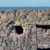
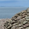
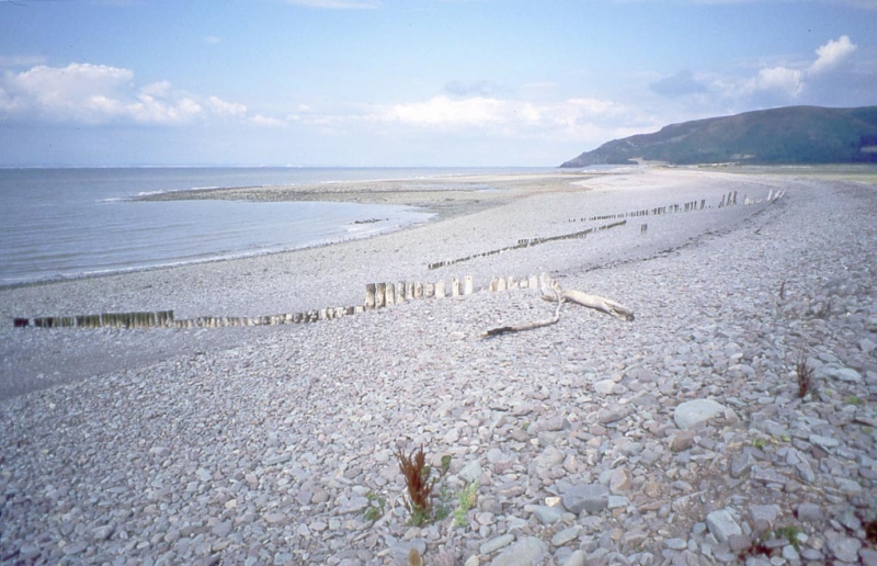
Porlock Bay is situated between Hurlestone Point and Porlock Weir in Somerset, and the beach is approximately one kilometre wide, backed by Porlock Ridge and Saltmarsh to the east. The beach is comprised of a shingle ridge and pebbles, stretching for 4 miles.
The beach at Porlock Weir is popular for bathing in the summer months, and offers excellent angling opportunities. During the winter, the beach can also be one of the best surf spots in the area. The marshland behind the beach is home to numerous birds, making it a popular spot for bird watchers. The South West Coastal Path passes the beach, offering excellent views out over the Bristol Channel and of the surrounding mountainous countryside and Exmoor Heritage Coast.
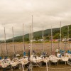
Parking is available in the small village of Porlock Weir, with direct access to the beach. Public toilets can also be found in the car park. The picturesque village contains a good selection of cafes, restaurants, shops, and places to stay. It boasts a small fishing harbour, and a medieval manor house serves as a museum portraying the history of the village.
Porlock Weir Beach is dog friendly all year round, allowing visitors to bring their pets along to enjoy the beach and surrounding marshland.
Porlock Weir Beach is on the Exmoor Heritage Coast, and adjacent to the South West Coast Path.
Pebbles
| Today |  |
|---|---|
| Chance of rain | 58% |
| Max temperature | 15°C |
| feels like | 16°C |
| Wind 12mph |  |
| Max UV Index |  |
| Tonight |  |
|---|---|
| Chance of rain | 82% |
| Min temperature | 12°C |
| feels like | 11°C |
| Wind 13mph |  |
The tide at Porlock Weir Beach is currently falling. Low tide will be at approximately 3:35 PM, and the next high tide will be at approximately 10:13 PM.
 Today's air pollution levels are forecast to be Low
 Food available
 Toilets
 Shops
Shops
 Litter bins
Pay and display car parking for 60 cars.
Dogs are allowed.
Beach cleaned regularly
No lifeguard cover at this beach


Water quality not measured here
around 7 miles east as the seagull flies, around 8 miles by road.
around 7 miles east as the seagull flies, around 8 miles by road.
around 8 miles east as the seagull flies, around 10 miles by road.
around 9 miles west as the seagull flies, around 13 miles by road.
around 9 miles east-southeast as the seagull flies, around 10 miles by road.
around 10 miles west as the seagull flies, around 15 miles by road.
around 10 miles east-southeast as the seagull flies, around 12 miles by road.
around 12 miles west as the seagull flies, around 18 miles by road.
around 13 miles north-northeast as the seagull flies, around 120 miles by road.
around 13 miles north-northeast as the seagull flies, around 120 miles by road.
around 13 miles east as the seagull flies, around 16 miles by road.
around 14 miles east as the seagull flies, around 18 miles by road.
around 15 miles northeast as the seagull flies, around 116 miles by road.
around 16 miles north as the seagull flies, around 120 miles by road.
around 16 miles northeast as the seagull flies, around 117 miles by road.
around 17 miles north as the seagull flies, around 119 miles by road.
around 17 miles east as the seagull flies, around 22 miles by road.
around 17 miles north as the seagull flies, around 118 miles by road.
around 18 miles north as the seagull flies, around 121 miles by road.
around 18 miles west as the seagull flies, around 27 miles by road.
Location: Porlock Weir
Location type: Village
OS Grid: SS865478
Coordinates: 51°13'8"N 3°37'32"W
Mapcode: GBR LB.3F97
What 3 Words: logbook.splints.roaring
Coordinates and location codes are for an approximate mid-point of the beach, and may not reflect the best access point or the most popular part of the beach.
County: Somerset
Country: England
Local Authority: West Somerset
Parish: Porlock
Nearest postcode: TA24 8PB
(for sat-nav purposes only, a beach does not have a postal address!)
Important! Beach information is compiled from a variety of different sources and is correct to the best of our knowledge at the time of compilation. However, information may be incorrectly supplied by our sources or go out of date after publication. BritishBeaches.uk makes no warranty as to the accuracy of any information on this page.