Approximate Location Map
Use two fingers to pan or zoom the map
Use two fingers to pan or zoom the map
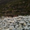
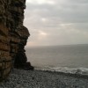
Tresilian Bay is situated along the 14-mile stretch of the Glamorgan Heritage Coast, known for its limestone cliffs and stunning scenery. The beach is a rocky and shingle cove facing due south over the Bristol Channel, backed by cliffs. It is nestled underneath the chalk cliffs, providing a dramatic backdrop to the beach.
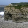
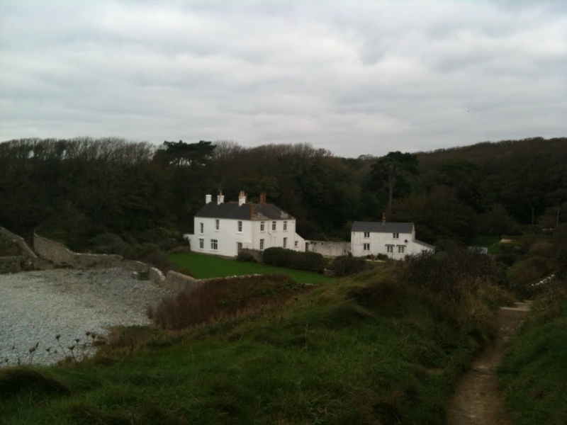
The beach is set in a picturesque cove, with the distinctive Tresilian House, a large, white farmhouse, located at the rear of the beach at the end of a small valley. The soft chalk cliffs along this coast are dotted with caves, and there is an old pillbox set above the beach. The coastal area is popular for walking, with a coastal path that passes the beach and continues along the heritage coast.
Facilities such as shops and restaurants can be found in the nearby town of Llantwit Major. The nearest car park from Tresilian Bay is at Llantwit Major beach, reached from the town centre along Colhugh Street, where a café is also located. The cove at Tresilian Bay Beach is a little under a kilometre away and can be reached by walking along the beach or along the coastal path.
The beach takes its name from Prince Silian, who is reputed to have kept court there in the 3rd and 4th centuries. The cliffs at Tresilian Bay house several caves that can be explored at low tide, with local lore suggesting that many were expanded or modified to create secret tunnels used by smugglers and pirates.
Tresilian Bay is on the Glamorgan Heritage Coast, and adjacent to the Wales Coast Path.
Cove Pebbles Rock
| Today |  |
|---|---|
| Chance of rain | 6% |
| Max temperature | 17°C |
| feels like | 17°C |
| Wind 14mph |  |
| Max UV Index |  |
| Tonight |  |
|---|---|
| Chance of rain | 95% |
| Min temperature | 15°C |
| feels like | 13°C |
| Wind 17mph |  |
The tide at Tresilian Bay is currently falling. Low tide will be at approximately 3:57 PM, and the next high tide will be at approximately 10:19 PM.
 Today's air pollution levels are forecast to be Low
Limited parking a short walk from the beach. Best accessed on foot via the coast path from St Donats.
No lifeguard cover at this beach

Water quality not measured here
less than a mile east-southeast as the seagull flies, around 3 miles by road or less than a mile on foot using coastal paths.
around 5 miles east-southeast as the seagull flies, around 7 miles by road or 5 miles on foot using coastal paths.
around 5 miles northwest as the seagull flies, around 7 miles by road.
around 7 miles east as the seagull flies, around 8 miles by road.
around 7 miles northwest as the seagull flies, around 9 miles by road.
around 7 miles northwest as the seagull flies, around 10 miles by road.
around 9 miles northwest as the seagull flies, around 14 miles by road.
around 9 miles northwest as the seagull flies, around 15 miles by road.
around 9 miles east as the seagull flies, around 12 miles by road.
around 10 miles northwest as the seagull flies, around 15 miles by road.
around 10 miles east as the seagull flies, around 12 miles by road.
around 10 miles east as the seagull flies, around 13 miles by road.
around 10 miles east as the seagull flies, around 12 miles by road.
around 11 miles east as the seagull flies, around 13 miles by road.
around 11 miles northwest as the seagull flies, around 16 miles by road.
around 12 miles east as the seagull flies, around 16 miles by road.
around 13 miles south as the seagull flies, around 113 miles by road.
around 13 miles south-southwest as the seagull flies, around 120 miles by road.
around 13 miles south as the seagull flies, around 113 miles by road.
around 14 miles south-southeast as the seagull flies, around 112 miles by road.
Location: Dimlands
Location type: Village
Nearest village: Sain Dunwyd (St Donat's)
OS Grid: SS947676
Coordinates: 51°23'53"N 3°30'49"W
Mapcode: GBR HH.R0W5
What 3 Words: betrayal.commit.imparting
Coordinates and location codes are for an approximate mid-point of the beach, and may not reflect the best access point or the most popular part of the beach.
Country: Wales
Local Authority: Vale of Glamorgan
Parish: Llantwit Major
Nearest postcode: CF61 1YY
(for sat-nav purposes only, a beach does not have a postal address!)
Important! Beach information is compiled from a variety of different sources and is correct to the best of our knowledge at the time of compilation. However, information may be incorrectly supplied by our sources or go out of date after publication. BritishBeaches.uk makes no warranty as to the accuracy of any information on this page.