Approximate Location Map
Use two fingers to pan or zoom the map
Use two fingers to pan or zoom the map
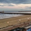
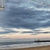
Sunderland Roker Beach, also known as Whitburn South, is a gently sloping sandy resort beach approximately 1.5 kilometres in length. It is situated within Sunderland, immediately north of the pier at the mouth of the River Wear. The beach has a road access ramp to the northern end and is backed by a promenade for the southern half.
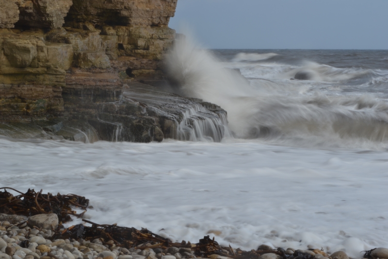
The beach is backed by rugged cliffs and rocks to the north and south, and is adjacent to Roker Park. The park offers a range of attractions, including display gardens, a boating lake, bowling green, model railway, and tram lines. The beach itself is popular with families and offers a range of activities, including canoeing, kayaking, cycling, fishing, jet-skiing, sailing, walking, and windsurfing.
The beach has a lifeguard service, and dogs are restricted to certain areas. There are basic toilet facilities at regular intervals, and parking is available, although it can get busy during peak times. The beach is also home to several pleasant cafes and restaurants, and refreshments are generally good value.
Roker Beach has won the Blue Flag award, recognising its high standards of water quality, safety, and environmental management. During the summer months, the beach is a popular destination for families, with safe bathing and RNLI Lifeguards on duty during the holidays. Water sports, including surfing, windsurfing, and sea kayaking, are popular all year round. Dogs are allowed on the beach, but are restricted to certain areas from May 1 to September 30.
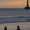
The beach and adjacent Roker Park offer a range of events and activities throughout the year, including a good programme of events during the summer months. Visitors can enjoy pleasant walks with dramatic views, and may even spot dolphins in the sea off the beach, pier, or lighthouse.
Sand
| Tonight |  |
|---|---|
| Chance of rain | % |
| Min temperature | 12°C |
| feels like | 11°C |
| Wind 14mph |  |
| Tomorrow |
 |
|---|---|
| Chance of rain | 46% |
| Max temperature | 17°C |
| feels like | 17°C |
| Wind 12mph |  |
| Max UV Index |  |
The tide at Sunderland Roker Beach is currently falling. Low tide will be at approximately 1:00 AM tomorrow, and the next high tide will be at approximately 7:07 AM tomorrow.
 Today's air pollution levels are forecast to be Low
 Food available
 Toilets
 Shops
Shops
 Litter bins
 Slipway
Parking is available though during busy periods it may be a short walk from the beach.
Dogs not allowed on certain areas - please check beach signs.

Daily - 28th May - 4th September



Water quality not measured here
less than a mile north as the seagull flies, less than a mile by road.
around 2 miles south as the seagull flies, around 3 miles by road.
around 3 miles south as the seagull flies, around 4 miles by road.
around 4 miles north as the seagull flies, around 4 miles by road.
around 4 miles south as the seagull flies, around 5 miles by road.
around 4 miles south as the seagull flies, around 5 miles by road.
around 5 miles south as the seagull flies, around 7 miles by road.
around 5 miles north-northwest as the seagull flies, around 6 miles by road.
around 6 miles south-southeast as the seagull flies, around 8 miles by road.
around 6 miles south-southeast as the seagull flies, around 8 miles by road.
around 6 miles south-southeast as the seagull flies, around 8 miles by road.
around 10 miles south-southeast as the seagull flies, around 14 miles by road.
around 11 miles south-southeast as the seagull flies, around 14 miles by road.
around 12 miles south-southeast as the seagull flies, around 17 miles by road.
around 13 miles south-southeast as the seagull flies, around 19 miles by road.
around 14 miles south-southeast as the seagull flies, around 20 miles by road.
around 15 miles south-southeast as the seagull flies, around 23 miles by road.
around 16 miles south-southeast as the seagull flies, around 24 miles by road.
around 19 miles south-southeast as the seagull flies, around 25 miles by road.
around 20 miles south-southeast as the seagull flies, around 29 miles by road.
Location: Roker, Sunderland
Location type: Urban
OS Grid: NZ408591
Coordinates: 54°55'30"N 1°21'51"W
Mapcode: GBR VG9.5D
What 3 Words: buddy.scars.trash
Coordinates and location codes are for an approximate mid-point of the beach, and may not reflect the best access point or the most popular part of the beach.
Country: England
Local Authority: Sunderland
Nearest postcode: SR6 9NA
(for sat-nav purposes only, a beach does not have a postal address!)
Important! Beach information is compiled from a variety of different sources and is correct to the best of our knowledge at the time of compilation. However, information may be incorrectly supplied by our sources or go out of date after publication. BritishBeaches.uk makes no warranty as to the accuracy of any information on this page.