Approximate Location Map
Use two fingers to pan or zoom the map
Use two fingers to pan or zoom the map
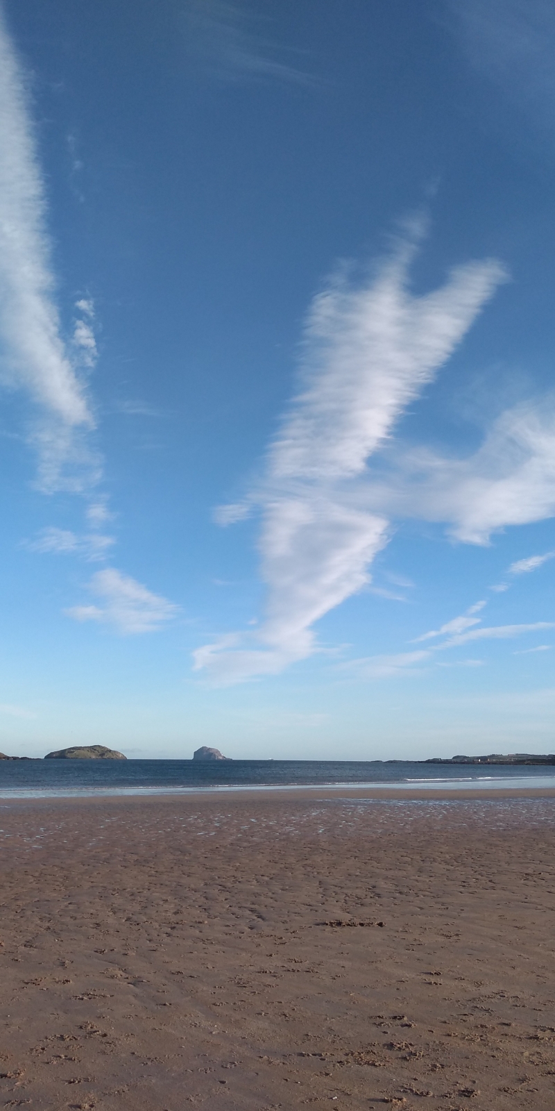
Yellowcraigs, sometimes referred to as Broad Sands Bay, is a sandy beach surrounded by forest and grassland. The natural beach affords visitors lovely views out to Fidra Island and its lighthouse built in 1885. Fidra Island is most famously known as the inspiration for Robert Louis Stevenson’s Treasure Island.
Yellowcraig is a popular family beach and offers activities to suit family members of all ages. There is a pirate themed adventure play area and an expansive network of paths running through the surrounding woodland and grasslands. Horseback riding is also very popular at Yellowcraigs.
There is no cafe or restaurant on the beach itself, so many visitors bring picnics or use the provided BBQ area, which needs to be booked in advance. For visitors planning on bringing dogs there is a dog walk located away from the beach where dog bins are provided.
The nearby town of Dirleton is within easy walking distance of Yellowcraigs. The town’s shops, pubs and restaurants are popular with visitors as is the historic Dirleton Castle, built in the 13th century.
Sand
| Today |  |
|---|---|
| Chance of rain | 16% |
| Max temperature | 17°C |
| feels like | 17°C |
| Wind 16mph |  |
| Max UV Index |  |
| Tonight |  |
|---|---|
| Chance of rain | 84% |
| Min temperature | 13°C |
| feels like | 11°C |
| Wind 20mph |  |
The tide at Broad Sands is currently rising. High tide will be at approximately 6:44 PM, and the next low tide will be at approximately 11:56 PM.
 Today's air pollution levels are forecast to be Low
 Toilets
Pay parking.
Dogs not allowed on certain areas.
No lifeguard cover at this beach

Good water quality
less than a mile west as the seagull flies, around 3 miles by road or just over a mile on foot using coastal paths.
just over a mile east as the seagull flies, around 2 miles by road.
around 2 miles east as the seagull flies, around 2 miles by road.
around 4 miles west-southwest as the seagull flies, around 5 miles by road.
around 5 miles east as the seagull flies, around 6 miles by road.
around 6 miles east-southeast as the seagull flies, around 9 miles by road.
around 7 miles southwest as the seagull flies, around 10 miles by road.
around 8 miles southwest as the seagull flies, around 11 miles by road.
around 9 miles southwest as the seagull flies, around 12 miles by road.
around 9 miles east-southeast as the seagull flies, around 13 miles by road.
around 9 miles north-northwest as the seagull flies, around 76 miles by road.
around 9 miles north-northwest as the seagull flies, around 76 miles by road.
around 9 miles southwest as the seagull flies, around 13 miles by road.
around 10 miles north-northwest as the seagull flies, around 76 miles by road.
around 10 miles east-southeast as the seagull flies, around 21 miles by road or 14 miles on foot using coastal paths.
around 11 miles north as the seagull flies, around 80 miles by road.
around 11 miles north as the seagull flies, around 80 miles by road.
around 12 miles north-northwest as the seagull flies, around 72 miles by road.
around 12 miles east-southeast as the seagull flies, around 22 miles by road or 16 miles on foot using coastal paths.
around 13 miles northwest as the seagull flies, around 70 miles by road.
Location: Dirleton
Location type: Village
OS Grid: NT528856
Coordinates: 56°3'41"N 2°45'30"W
Mapcode: GBR 2S.Q476
What 3 Words: rescue.valuables.alpha
Coordinates and location codes are for an approximate mid-point of the beach, and may not reflect the best access point or the most popular part of the beach.
Country: Scotland
Local Authority: East Lothian
Nearest postcode: EH39 5DD
(for sat-nav purposes only, a beach does not have a postal address!)
Important! Beach information is compiled from a variety of different sources and is correct to the best of our knowledge at the time of compilation. However, information may be incorrectly supplied by our sources or go out of date after publication. BritishBeaches.uk makes no warranty as to the accuracy of any information on this page.