Approximate Location Map
Use two fingers to pan or zoom the map
Use two fingers to pan or zoom the map
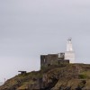
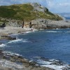
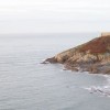
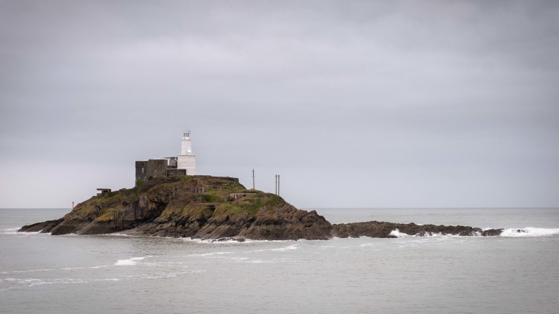
Bracelet Bay is situated on the Gower Peninsula, next to the Mumbles lighthouse, and is backed by dramatic cliffs. The beach is a mix of sand and shingle, with rocky shoreline and numerous rock pools to explore at low tide. On a clear day, there are stunning views across the Bristol Channel to Devon.
The bay offers a range of facilities, including restaurants, bars, and ice cream parlours nearby. Visitors can swim in the bay, but should be cautious of the rocks and strong rip currents. A lifeguard presence is available between May and September. Public toilets and a children's playground can also be found behind the Castellamare Italian restaurant on the western side of the beach.
The nearest bus stop is on Mumbles Road, immediately behind Bracelet Bay, and there is a large car park with charges during the summer months. However, the path to the beach is steep and not suitable for those with reduced mobility or those with children in pushchairs. Additionally, Bracelet Bay is a designated dog-free beach from May until October.
Bracelet Bay is adjacent to the Gower Coast Path and the Wales Coast Path.
Bay Sand Shingle Pebbles Rock
| Today |  |
|---|---|
| Chance of rain | 27% |
| Max temperature | 16°C |
| feels like | 17°C |
| Wind 14mph |  |
| Max UV Index |  |
| Tonight |  |
|---|---|
| Chance of rain | 99% |
| Min temperature | 15°C |
| feels like | 13°C |
| Wind 19mph |  |
The tide at Bracelet Bay is currently falling. Low tide will be at approximately 3:45 PM, and the next high tide will be at approximately 10:11 PM.
 Today's air pollution levels are forecast to be Low
 Food available
 Toilets
 Shops
Shops
 Litter bins
There is parking off Mumbles Road.
Dogs not allowed 1st May to 30th September: http://www.swansea.gov.uk/dogsonbeaches
No lifeguard cover at this beach



Excellent water quality
less than a mile northeast as the seagull flies, just over a mile by road or less than a mile on foot using coastal paths.
less than a mile west-southwest as the seagull flies, less than a mile by road.
less than a mile north-northwest as the seagull flies, less than a mile by road or less than a mile on foot using coastal paths.
just over a mile northwest as the seagull flies, around 2 miles by road.
just over a mile west as the seagull flies, around 2 miles by road.
around 2 miles north-northwest as the seagull flies, around 2 miles by road.
around 2 miles north-northwest as the seagull flies, around 3 miles by road.
around 2 miles west as the seagull flies, around 3 miles by road.
around 3 miles north as the seagull flies, around 4 miles by road.
around 3 miles west as the seagull flies, around 3 miles by road.
around 3 miles west as the seagull flies, around 5 miles by road.
around 3 miles north-northeast as the seagull flies, around 6 miles by road.
around 4 miles north-northeast as the seagull flies, around 6 miles by road.
around 5 miles northeast as the seagull flies, around 9 miles by road.
around 6 miles northeast as the seagull flies, around 9 miles by road.
around 6 miles west as the seagull flies, around 8 miles by road.
around 6 miles northeast as the seagull flies, around 10 miles by road.
around 6 miles west as the seagull flies, around 9 miles by road.
around 7 miles east-northeast as the seagull flies, around 15 miles by road.
around 7 miles east-northeast as the seagull flies, around 15 miles by road.
Location: Limeslade, Swansea
Location type: Urban
OS Grid: SS629871
Coordinates: 51°34'0"N 3°58'43"W
Mapcode: GBR GX.Y2L8
What 3 Words: parade.rooks.flaunting
Coordinates and location codes are for an approximate mid-point of the beach, and may not reflect the best access point or the most popular part of the beach.
Country: Wales
Local Authority: Swansea
Parish: Mumbles
Nearest postcode: SA3 4JT
(for sat-nav purposes only, a beach does not have a postal address!)
Important! Beach information is compiled from a variety of different sources and is correct to the best of our knowledge at the time of compilation. However, information may be incorrectly supplied by our sources or go out of date after publication. BritishBeaches.uk makes no warranty as to the accuracy of any information on this page.